Leeds news LIVE: Traffic and travel updates in Leeds as snow falls heavily across the city
and live on Freeview channel 276
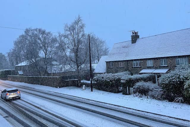
Snow is falling in Leeds this morning.
There is slow traffic due to snow on the M621 between M62 J27 (Gildersome) and J1 A6110 Ring Road Beeston (Beeston / Farnley).
Due to snow at Pool Bank, Flyer buses are unable to reach stops between Leeds Bradford Airport & Harrogate bus station.

Advertisement
Hide AdAdvertisement
Hide AdFLYER A2 is running between Bradford and Leeds Bradford Airport only, serving all stops as normal. A1 and A3 are unaffected by the snow.
The West Yorkshire Police Contact Management Centre team have said to "avoid travel".
They tweeted: "So the car park was clear half an hour ago.
"Covered now.
"Snow is forecast for most of the day so avoid travelling today. #snow"
Yorkshire Ambulance Service has told people to stay ‘weather aware’.
Advertisement
Hide AdAdvertisement
Hide AdSnow is forecast to fall until 8pm tonight according to the Met Office.
There is a yellow weather warning for snow and ice in place.
The snow was first spotted in Alwoodley.
One resident in Kirkstall has also spotted some snow this morning.
Facebook users have said it is snowing in LS9, LS10, LS14, LS16 and LS26.
Met Office forecast in full:
Headline: Sleet and snow easing from the east. Icy.
Advertisement
Hide AdAdvertisement
Hide AdToday: Outbreaks of sleet and snow will gradually ease from the east coast today. Snow will become lighter, patchy, and mainly focussed over hills later, but with extensive hill fog. Feeling bitterly cold with ice and frost. Maximum temperature 3 °C.
Tonight: Rain, sleet and snow should clear all but the Pennines. Cloud will begin to clear in the east leading to a risk of ice, frost and fog later. Bitterly cold. Minimum temperature -8 °C.
Friday: Another cold day ahead with hill fog and patchy cloud. Sunny spells are possible but an early frost is likely before clouds build and winds begin to strengthen later. Maximum temperature 3 °C.
Outlook for Saturday to Monday: Windy with rain and snow on Saturday, this possibly disruptive. Mainly dry, bright, but cold on Sunday. Dry initially but further rain, snow and strong winds possible later on Monday.
Scroll down for live updates:
Comment Guidelines
National World encourages reader discussion on our stories. User feedback, insights and back-and-forth exchanges add a rich layer of context to reporting. Please review our Community Guidelines before commenting.