Met Office issues new snow and ice warning for Yorkshire as cold snap brings freezing temperatures in Leeds

and live on Freeview channel 276
The Met Office has issued weather alerts for snow and ice from this afternoon (Wednesday) that now last until Friday morning covering East Riding of Yorkshire and North Yorkshire, warning that the influx of snow and ice could lead to "hazardous conditions". The weather office cautioned that “some injuries from slips and falls on icy surfaces” are likely.
Icy patches on some roads, pavements and cycle paths are described as to be expected, while disruption to services is also highly possible, with some roads and railways likely to be affected.
Advertisement
Hide AdAdvertisement
Hide AdThe yellow warnings do not currently extend as far as Leeds but council gritters are hitting the roads as the current “cold blast” brings with it sub zero temperatures.
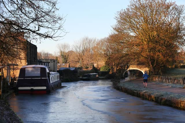

Day temperatures across the city are expected to peak at 3°C this week, while overnight lows of -3°C are expected to bring with it frost and fog.
A Met Office spokesperson said: “Showers, wintry in places, will continue to affect northern and eastern Scotland and eastern England through Thursday evening and overnight into Friday morning.
"These are likely to fall onto frozen surfaces allowing icy patches to form. From approximately the Humber northwards, showers will often fall as snow inland, with up to 2cm possible in places, and perhaps as much as 5 cm over high ground. Further south, any snow accumulations are more likely to be restricted to higher ground.