Leeds weather: Met Office snow warning in place as temperatures expected to dip below freezing

and live on Freeview channel 276
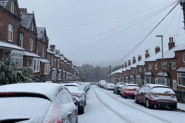
The sun may be on show today (March 7) but the skies look set to change rather drastically as the week progresses, with snowfall in store for Leeds according to the Met Office. The warning means heavy snow “has the potential to cause significant disruption on Thursday and Friday”.
People have been warned there is a slight chance roads may become blocked by deep snow, and a small chance of long delays and cancellations on bus, rail and air travel. Below is the official Met Office weather forecast for the days ahead in Leeds. For more information, visit the official Met Office website.
Tuesday (today):

Advertisement
Hide AdAdvertisement
Hide AdThere will be highs of 5C and lows of -3C, with sun throughout the afternoon before a clear night.
Wednesday:
The sun will again be out through the day but temperatures won’t creep up much – highs of 5C and lows of -2C are anticipated.
Thursday:
A yellow warning for snow is in place, with light snow expected to become heavy snow in the early evening. Highs of 3C and lows of -1C are predicted.
Friday:
The yellow snow warning also applies to Friday, although it looks set to start with sleet that will be followed by clouds in the afternoon. Highs of 5C and lows of -3C are anticipated.
Saturday:
The day will start cloudy but some sleet and light snow is predicted for the evening, meanwhile highs of 5C and lows of 2C are expected.