Leeds weather forecast: When snow is expected in the city as Met Office issues Yorkshire weather warnings

and live on Freeview channel 276
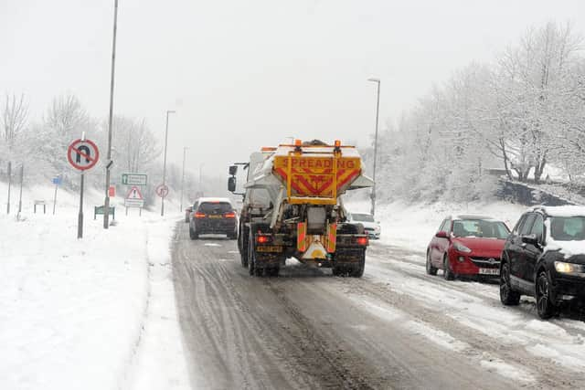
The yellow warnings, which mean disruption is likely, have been made as forecasters says snowy weather and sub-zero temperatures are on the way for Leeds. The cold snap will begin on Sunday, with snow and sleet expected on five days next week.
The first Met Office warning comes into force on Monday morning and lasts throughout the day. It warns that snow showers are likely to cause some disruption to travel with a small chance of more widespread disruption for some. It covers more than 25 local authority areas in Scotland and the north of England, including North Yorkshire.
Advertisement
Hide AdAdvertisement
Hide AdA second warning, which lasts for all of Tuesday, says people should prepare for frequent snow showers to continue and further disruption in places. It covers more than 30 local authority areas in Scotland and the north of England, including East Riding of Yorkshire, Hull, North Yorkshire and York.

What will the weather be like in Leeds this weekend?
BBC forecasters say Saturday will have a dry and bright start with sunshine. In the afternoon, it will turn a little cloudier but there will still be sunny spells in places. Sunday will be mostly cloudy with some light showers, turning wintry on the high ground, but it will become brighter later. Temperatures will turn colder as a northerly airflow develops, with minimum temperatures of -1C on Sunday.
The Met Office says there will be bright, chilly start on Saturday, with early frost soon lifting as spells of sunshine develop. It will turn cloudier through the afternoon with coastal showers possible. Temperatures will be feeling a little cooler, with a maximum temperature of 7C. There will be bright spells and scattered showers on Sunday, turning occasionally wintry over high ground and coasts.
When is snow forecast for Leeds?
BBC forecasters say Monday will see cloudy skies and spells of rain but these will dissipate by the evening. Largely dry and bright on Tuesday, with a chance of the odd shower, which could be wintry down to lower levels. There will be slight overnight on Monday into Tuesday, with light snow forecast from the early hours of Tuesday until around 10am. Tuesday is expected to be the coldest day of the week too as temperatures drop as low as -4C.
Advertisement
Hide AdAdvertisement
Hide AdA cold but sunny day on Wednesday is expected to be followed with more light snow from around 10pm and throughout the following day. The snow will make way for sleet and showers on Friday, as conditions warm slightly and a minimum temperature of 2C is forecast.
The Met Office says wintry showers will become more frequent and widespread through Monday and Tuesday, with overnight frosts. It says the days that follow will be characterised by winds from the north bringing cold conditions to most areas, with widespread frost and ice.
It is forecasting light snow in Leeds from around 9pm on Monday night, but is not currently forecasting snow for Tuesday. It expects there will be sleet on Thursday from around 3pm, following by light snow from 6pm onwards. Its hourly forecast for Friday is yet to be published.