
Plans for the first phase of the highly publicised West Yorkshire mass transit system were unveiled last week and the proposed network would include two lines serving Leeds and Bradford.
Early sketches for the Leeds line show links from St James’ Hospital, through Leeds city centre and on to Elland Road and the White Rose Shopping Centre.
While the proposed Bradford line would run from Leeds city centre to Bradford city centre – also linking Bradford Forster Square station with the new Bradford train station.
West Yorkshire Combined Authority says it will work to ensure that any future phases of a mass transit network reach Wakefield, Kirklees and Calderdale.
The following proposed locations are purely illustrative at this stage and will be subject to a full public consultation but here are 15 locations a completed Leeds tram system could stop at...
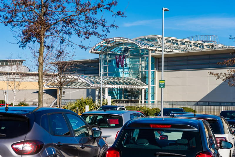
1. White Rose Shopping Centre, Leeds
Routes on the first phase of the proposed tram network include the White Rose Shopping Centre. Photo: James Hardisty
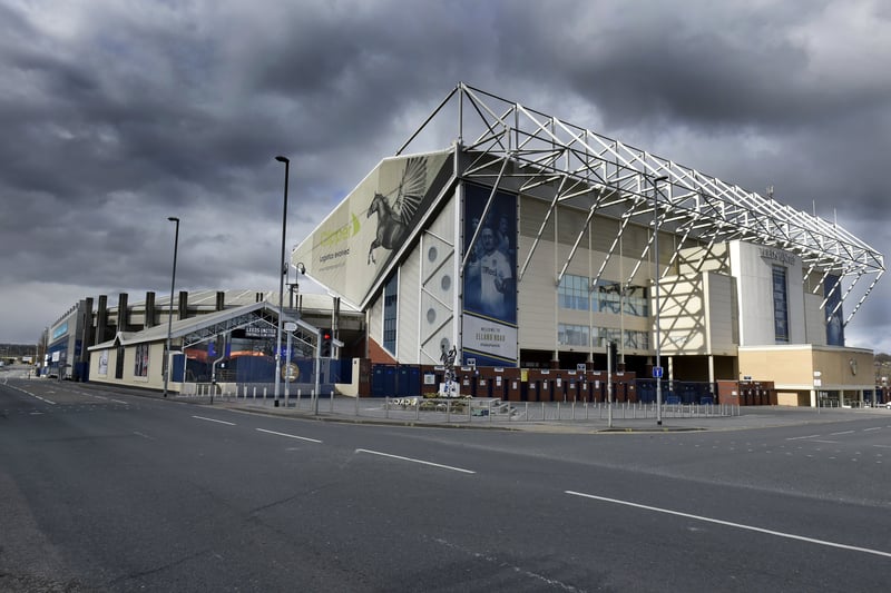
2. Leeds United's Elland Road Stadium
Routes on the first phase of the proposed tram network include Leeds United's Elland Road stadium Photo: Steve Riding
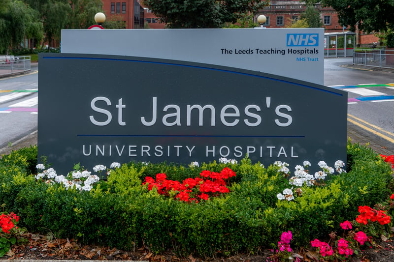
3. St James's University Hospital, Leeds
Routes on the first phase of the proposed tram network include St James's University Hospital. Photo: James Hardisty

4. Leeds city centre
Routes on the first phase of the proposed tram network include Leeds city centre. Photo: Simon Dewhurst
5. Bradford Forster Square railway station
Routes on the first phase of the proposed tram network include Bradford Forster Square railway station. Photo: James Hardisty
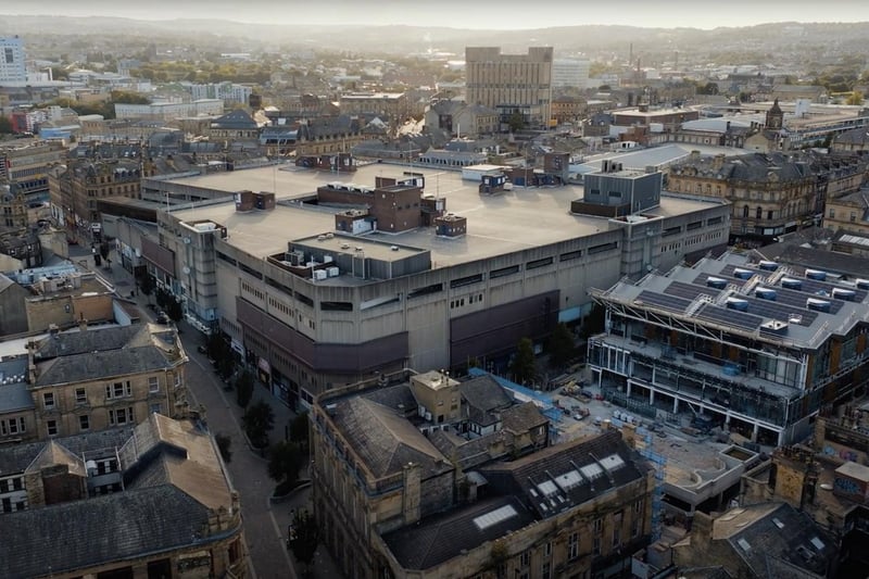
6. Bradford city centre
Routes on the first phase of the proposed tram network include linking Bradford city centre to the new Bradford train station. Photo: Submitted