
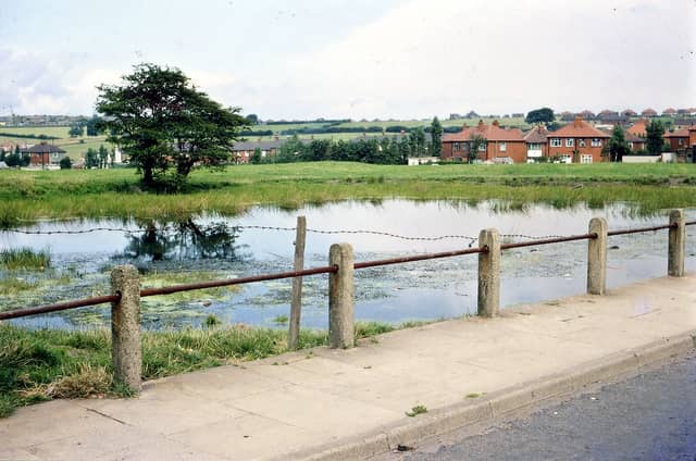


They showcase a calm and gentle slice of semi-rural life around the community during the 1960s, and feature panoramic views, beauty spots, local landmarks as well as capturing change with the building of the M62 motorway. The images are published courtesy of the David Atkinson Archive who collection is housed on photographic archive Leodis, which is run by Leeds Library & Information Service. They also run heritage blog The Secret Library Leeds, which provides a behind the scenes look at the Central Library and highlights from its special collections, including rare books hidden away in the stacks. READ MORE: 43 closed Leeds pubs which will stir fond memories for drinkers LOVE LEEDS? LOVE NOSTALGIA? Join Leeds Retro on facebook YEP RETRO NEWSLETTER: Sign up for our free monthly email digest of Leeds nostalgia
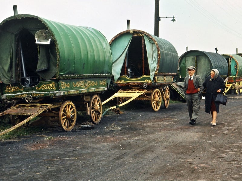
19. West Ardsley in the 1960s
five Gypsy Caravans or Vardos, as they were known, having arrived for Lee Gap Fair. This style of caravan is called 'the openlot' and came into use in the 1930s, adapted from the 'pot wagon'. It has a bow shaped canvas top and is built on to a cart. There is no door but the front has two pillars for support and proud of their Vardos and as seen here, often painted them with intricate patterns sometimes picked out in gold leaf. Pictured in August 1965. | David Atkinson Archive Photo: David Atkinson Archive
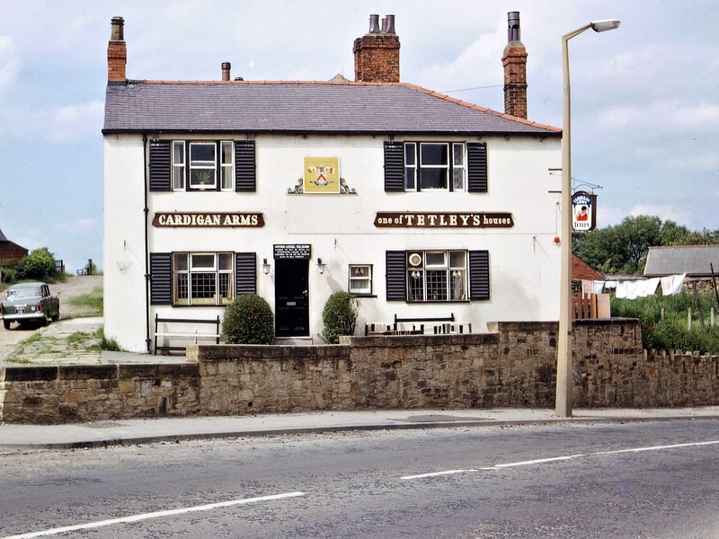
20. West Ardsley in the 1960s
The Cardigan Arms pictured in July 1966. When the Cardigan family came to reside at Howley Hall the inn took the name in respect to the Lords of the Manor. The Cardigan Arms was located on Dewsbury Road opposite St. Mary's Church, Sunday School and Vicarage. It was demolished in 1972 for road widening. The road where the car is parked leads to Woodkirk Station. | David Atkinson Archive Photo: David Atkinson Archive
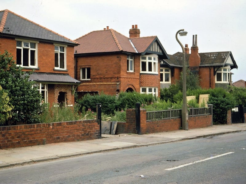
21. West Ardsley in the 1960s
These houses on the east side of Rein Road were photographed shortly before demolition as they were in the path of the proposed M62. Pictured in July 1968. | David Atkinson Archive Photo: David Atkinson Archive
22. West Ardsley in the 1960s
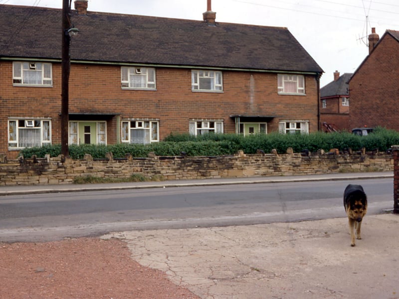
Council on Westerton Road pictured in August 1967. | David Atkinson Archive Photo: David Atkinson Archive
23. West Ardsley in 1960s
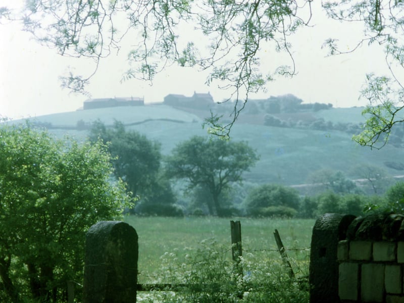
A distant view Hill Top Farm at Dunningley from a high point at Topcliffe opposite. Pictured in July 1969. | David Atkinson Archive Photo: David Atkinson Archive
24. West Ardsley in 1960s
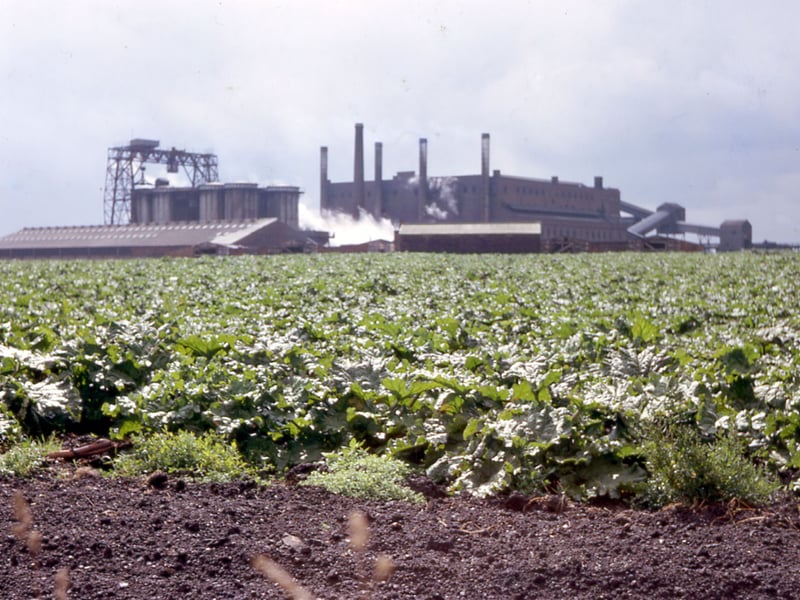
Rhubarb fields and Tingley Gasworks from Topcliffe Lane. Pictured in July 1966. | David Atkinson Archive Photo: David Atkinson Archive