
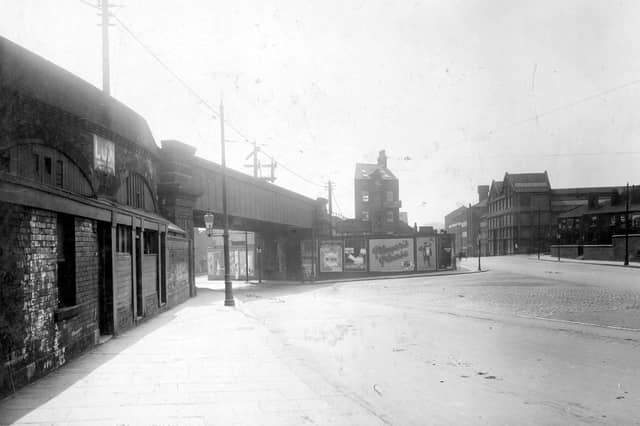


These intriguing photos take a look at life around a poverty stricken area of Leeds in the 1920s. Bank is an area of the city that time erased, that appears to have disappeared off the map and removed from the memory of residents. It was found east of the city centre, historically bounded by Marsh Lane, York Road, Richmond Hill, and sloping down toward the River Aire and Lady Beck. The photos provide a fascinating insight into what the area offered - jobs for railway and mill workers. The images are published courtesy of photographic archive Leodis, which is run by Leeds Library & Information Service. They also run heritage blog The Secret Library Leeds, which provides a behind the scenes look at the Central Library and highlights from its special collections, including rare books hidden away in the stacks. READ MORE: 14 intriguing photos take you back to a forgotten corner of Leeds LOVE LEEDS? LOVE NOSTALGIA? Join Leeds Retro on facebook YEP RETRO NEWSLETTER: Sign up for our free monthly email digest of Leeds nostalgia
7. Bank in the 1920s
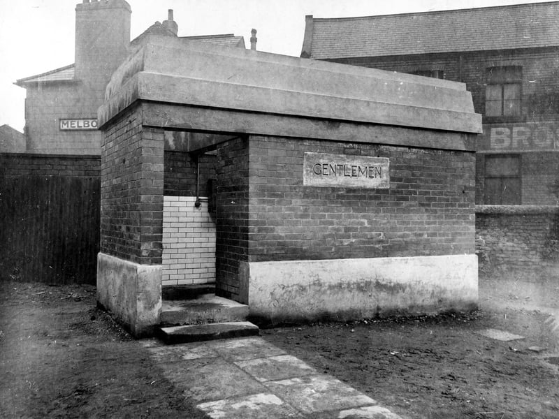
A small Gentlemens' public convenience pictured in April 1927. The building is still marked on the OS map for 1968 near the junction with Maude Street and opposite the Palace Hotel. | Leeds Libraries, www.leodis.net Photo: Leeds Libraries, www.leodis.net