
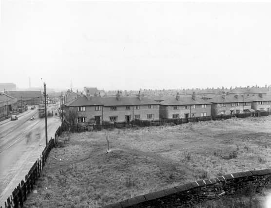


Familiar street names featuring row upon row of houses such as the Monkton’s and Oulton’s are also included in this trip down memory lane. The suburb’s historic connection with a cholera epidemic is also featured as well as local landmarks and shops. The images are a mix from West Yorkshire Archive Service and others published courtesy of photographic archive Leodis, which is run by Leeds Library & Information Service. READ MORE: Memories of lost Leeds pubs in Hunslet, Belle Isle, Middleton and Stourton LOVE LEEDS? LOVE NOSTALGIA? Join Leeds Retro on facebook YEP RETRO NEWSLETTER: Sign up for our free monthly email digest of Leeds nostalgia
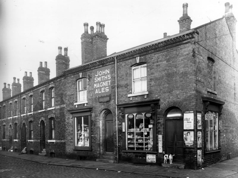
13. Hunslet in the 1950s
Monkton Road in November 1958. On the right at number 19 is Walter Roberts grocery, licensed to sell alcohol and tobacco. On the right is Derby Street. | Leeds Libraries, www.leodis.net Photo: Leeds Libraries, www.leodis.net
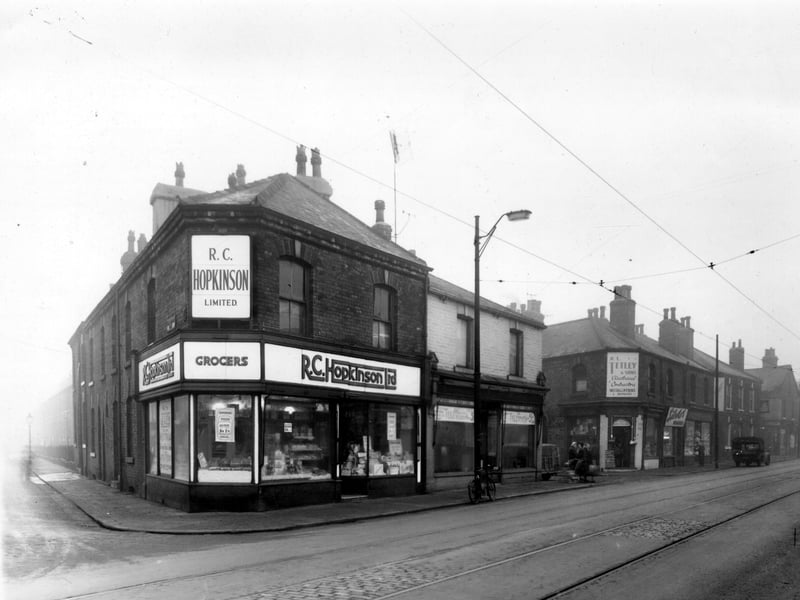
14. Hunslet in the 1950s
Moor Crescent Road on the left with number 103 Dewsbury Road, the R.C. Hopkinson Ltd. grocers on the right. Pictured in November 1958. | Leeds Libraries, www.leodis.net Photo: Leeds Libraries, www.leodis.net
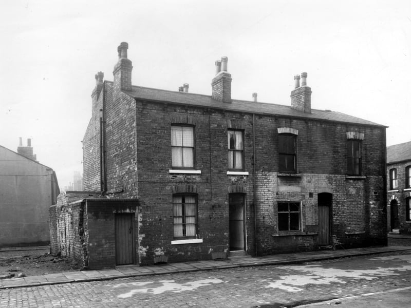
15. Hunslet in the 1950s
Two back-to-back terraced houses with a yard on the left originally built to house the shared outside toilet, while on the far right is Garr's Terrace. Pictured in November 1958. | West Yorkshire Archive Service Photo: West Yorkshire Archive Service