
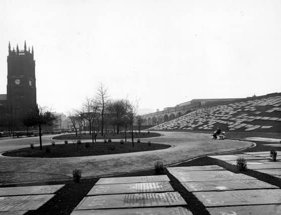


Bank is an area of the city that time erased, that appears to have disappeared off the map and removed from the memory of Leeds residents. It was a very poor deprived slum area of the city in the 1800s the vast majority of which was reduced to rubble as part of slum clearance. These photos capture a decade in time - the 1940s and bring to life a different era in the city's rich history. The images are published courtesy of photographic archive Leodis, which is run by Leeds Library & Information Service. They also run heritage blog The Secret Library Leeds, which provides a behind the scenes look at the Central Library and highlights from its special collections, including rare books hidden away in the stacks. READ MORE: Unseen photos chart of a golden age of Leeds pub culture LOVE LEEDS? LOVE NOSTALGIA? Join Leeds Retro on facebook YEP RETRO NEWSLETTER: Sign up for our free monthly email digest of Leeds nostalgia
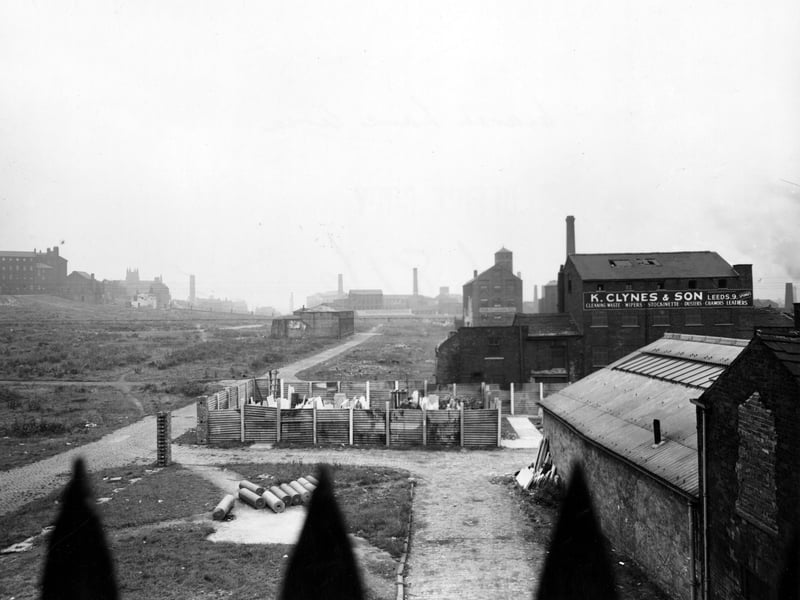
7. Bank in the 1940s
Mill Street looking west towards Marsh Lane in October 1949. There are several warehouses in the area. In the centre of the photo is an area fenced off with corrugated iron with some unidentifiable materials stacked in the centre. To the right of the photograph can be seen 'K. Clynes & Son, rag merchants' at Bank Top Mills. It appears to have several windows missing. | Leeds Libraries, www.leodis.net Photo: Leeds Libraries, www.leodis.net
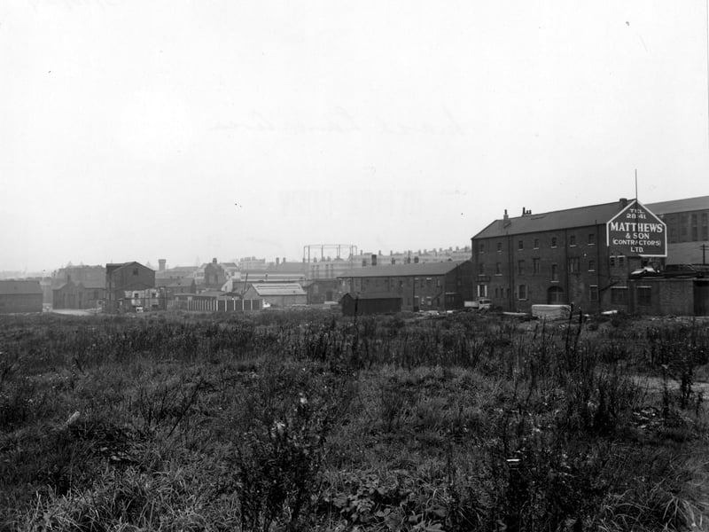
8. Bank in the 1940s
Looking north-west across scrub land towards Railway Street and Marsh Lane in October 1944. On the right is number 11 Railway Street, Matthew and Son contractors Ltd. builders with a painted sign on the gable end. A gas holder is in the distance. | Leeds Libraries, www.leodis.net Photo: Leeds Libraries, www.leodis.net
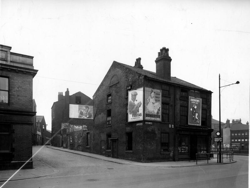
9. Bank in the 1940s
Looking south-west at the north end of Garden Street at the junction with Marsh Lane, where number 28, Lillywhite's Fisheries can be seen. Pictured in March 1949. | Leeds Libraries, www.leodis.net Photo: Leeds Libraries, www.leodis.net
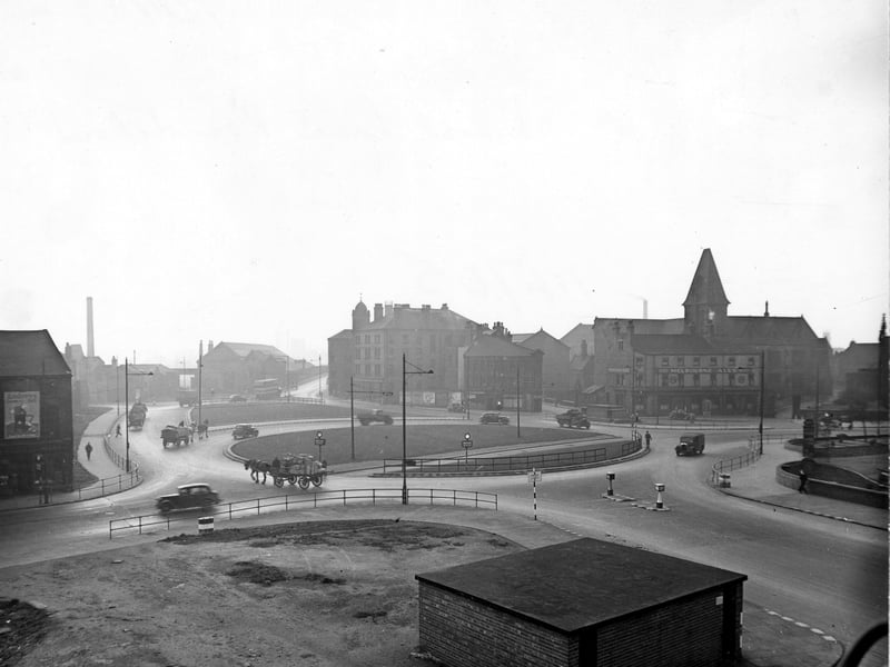
10. Bank in the 1940s
Elevated view looking south-west over Marsh Lane Roundabout from Duke Street. A low brick building is in the foreground. Cars, lorries and two horse and carts are on the road. On the right the Palace Hotel (Melbourne Ales) can be seen on Kirkgate. Pictured in November 1945. | Leeds Libraries, www.leodis.net Photo: Leeds Libraries, www.leodis.net
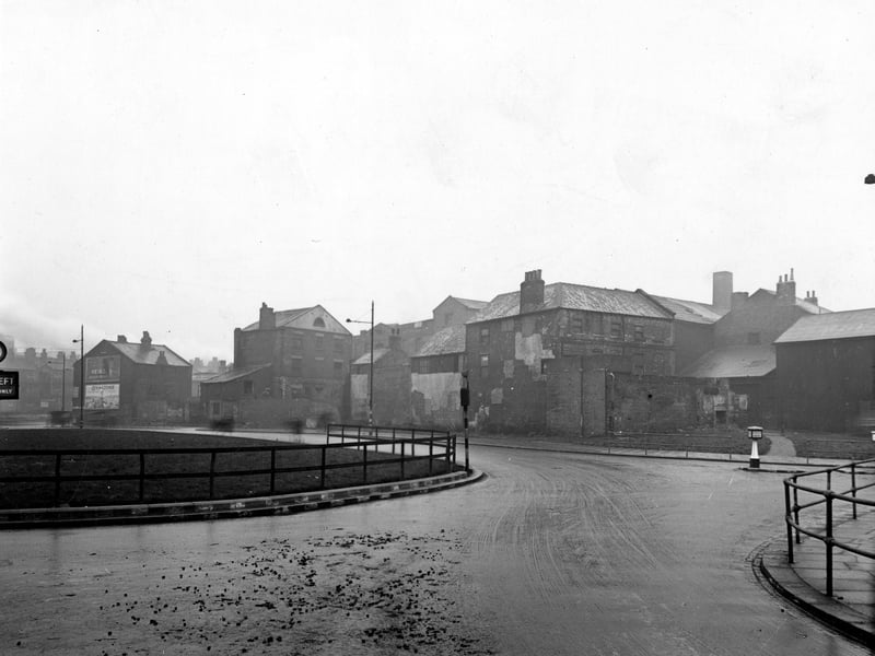
11. Bank in the 1940s
Marsh Lane Roundabout viewed from Crown Point Road, in the foreground, with the junction with East Street on the right. The road in the background joined Duke Street with Crown Point Road but does not appear to be named on any map. Buildings along this road fronted on to Garden Street. Pictured in December 1945. | Leeds Libraries, www.leodis.net Photo: Leeds Libraries, www.leodis.net
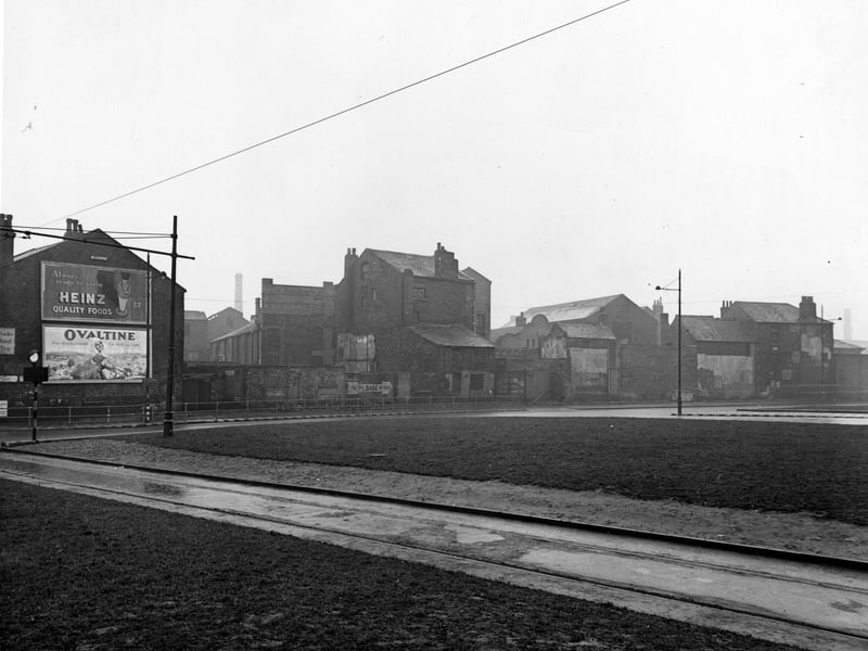
12. Bank in the 1940s
Marsh Lane Roundabout in the foreground. Tram tracks are prominent. The road in the background joined Duke Street with Crown Point Road but does not appear to be named on any map. Buildings along this road, including Hobman & Co., potato merchants, fronted on to Garden Street. Advertisements for Heinz Quality Foods and Ovaltine are on the left. Pictured in December 1945. | Leeds Libraries, www.leodis.net Photo: Leeds Libraries, www.leodis.net