
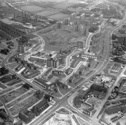


The main image provides a fascinating bird’s eye view of the suburb in the mid-1960s with New York Road in the foreground becoming York Road at the Woodpecker junction. Burmantofts Street meets the junction from the left, and Marsh Lane is off to the right. At the bottom edge Quarry Hill Flats is shown which were renovated around that time. Opposite, on the other side of New York Road the long, dark building is St. Patrick's Roman Catholic Church. In the Centre is the new Ebor Gardens estate built on old brickworks and demolished slum property. The wiggly 'U' shaped roads are Rigton Drive and Haslewood Drive. Burmantofts Street joins Beckett Street in the centre of the left edge and Nippet Lane runs inwards from the junction before joining Torre Road. The photo is one of 23 showcasing life around Burmantofts during the decade with shops, pubs and local landmarks in focus. READ MORE: Unseen photos chart of a golden age of Leeds pub culture LOVE LEEDS? LOVE NOSTALGIA? Join Leeds Retro on facebook YEP RETRO NEWSLETTER: Sign up for our free monthly email digest of Leeds nostalgia
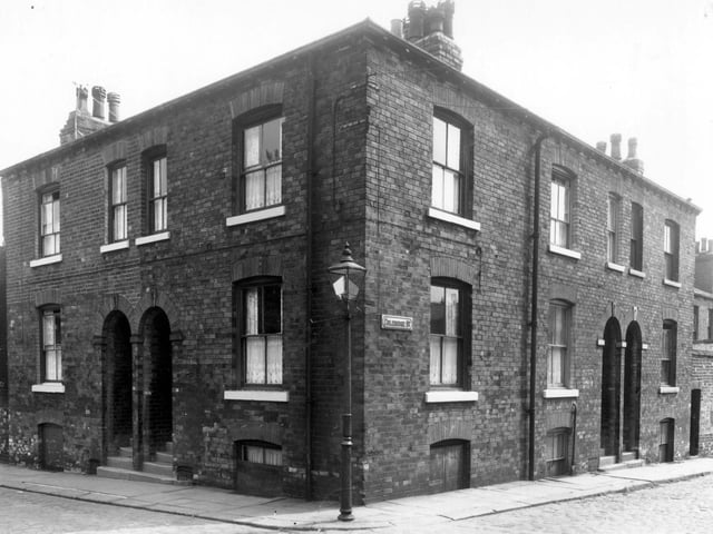
19. Burmantofts in the 1960s
To the left is Arthur Street at the corner with Coleridge Street in June 1960. | West Yorkshire Archive Service Photo: West Yorkshire Archive Service
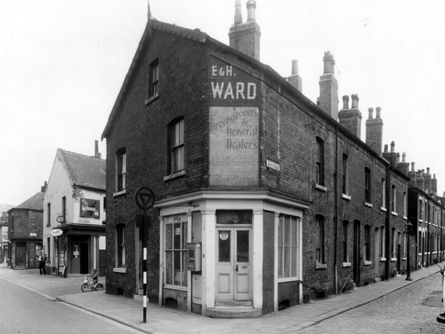
20. Burmantofts in the 1960s
June 1960. Accommodation Road is on the left, Nippet Terrace has an off-licence shop on the corner. | West Yorkshire Archive Service Photo: West Yorkshire Archive Service
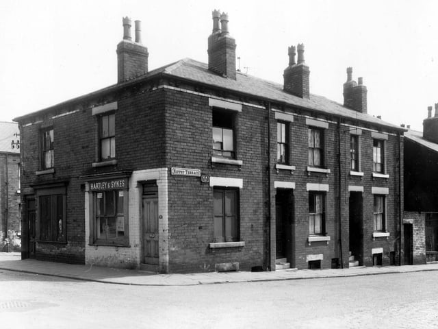
21. Burmantofts in the 1960s
June 1960. Nippet Terrace looking from Burns Street, which features a butchers shop. | West Yorkshire Archive Service Photo: West Yorkshire Archive Service
22. Burmantofts in the 1960s
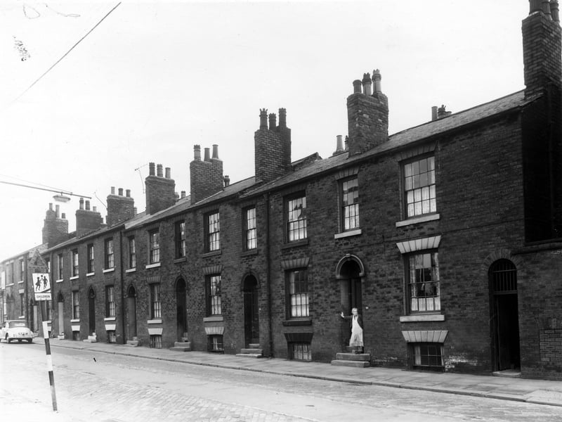
A section of Beckett Street in May 1960, number 78 on the left is marked by the triangle at the top of the school warning sign. Moving right the numbers follow in descending order to 66, where a woman stands in the doorway. The street was named after the Beckett family, two fields belonging to William Beckett MP were purchased to create Beckett Street Cemetery in 1843. The first burial there took place in August 1845. | West Yorkshire Archive Service Photo: West Yorkshire Archive Service
23. Burmantofts in the 1960s
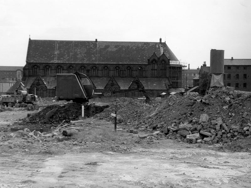
View over land, in the process of being cleared, to St. Patrick's Roman Catholic Church between Rider Street and New York Road. Eventually, Agnes Stewart C. of E. High School was to be built on this sie. On the far right is the Parochial Hall. In the background, left, part of Marsh Lane Goods Station can be seen. Pictured in July 1964. | Leeds Libraries, www.leodis.net Photo: Leeds Libraries, www.leodis.net
24. Burmantofts in the 1960s
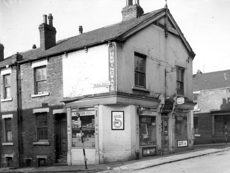
Museum Terrace and Shakespeare Street pi tured in March 1965. On the left of this image is number 29 Museum Terrace this went through to Museum Street and was the living quarters for the owners of the off-licence which fronted onto Shakespeare Street. The shop had an address of number 19 Shakespeare Street, and was a store run by C. Twigg. | Leeds Libraries, www.leodis.net Photo: Leeds Libraries, www.leodis.net