
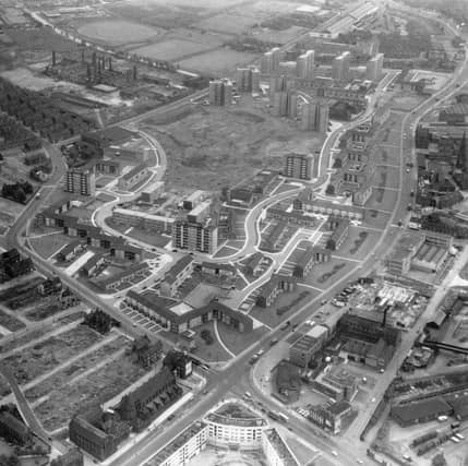


The main image provides a fascinating bird’s eye view of the suburb in the mid-1960s with New York Road in the foreground becoming York Road at the Woodpecker junction. Burmantofts Street meets the junction from the left, and Marsh Lane is off to the right. At the bottom edge Quarry Hill Flats is shown which were renovated around that time. Opposite, on the other side of New York Road the long, dark building is St. Patrick's Roman Catholic Church. In the Centre is the new Ebor Gardens estate built on old brickworks and demolished slum property. The wiggly 'U' shaped roads are Rigton Drive and Haslewood Drive. Burmantofts Street joins Beckett Street in the centre of the left edge and Nippet Lane runs inwards from the junction before joining Torre Road. The photo is one of 23 showcasing life around Burmantofts during the decade with shops, pubs and local landmarks in focus. READ MORE: Unseen photos chart of a golden age of Leeds pub culture LOVE LEEDS? LOVE NOSTALGIA? Join Leeds Retro on facebook YEP RETRO NEWSLETTER: Sign up for our free monthly email digest of Leeds nostalgia
7. Burmantofts in the 1960s
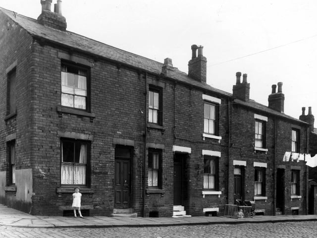
Four houses on Leith Street, seen from the intersection with Fertile Street in May 1960. A little girl is standing outside number 22 on the left, 20 is on the right. Next, 18 has a pram outside, also a toddler sat in a wooden playpen. | West Yorkshire Archive Service Photo: West Yorkshire Archive Service
8. Burmantofts in the 1960s
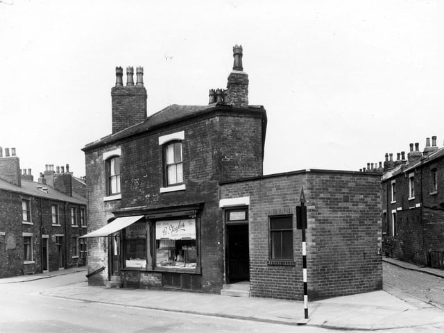
On the left is East Beckett Street. Number 98 Accommodation Road is a fresh fish shop. To the right is a bakers shop. | West Yorkshire Archive Service Photo: West Yorkshire Archive Service
9. Burmantofts in the 1960s
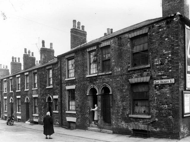
May 1960. Property to be included in clearance area on East Beckett Street. This is the junction with Burns Street. | West Yorkshire Archive Service Photo: West Yorkshire Archive Service
10. Burmantofts in the 1960s
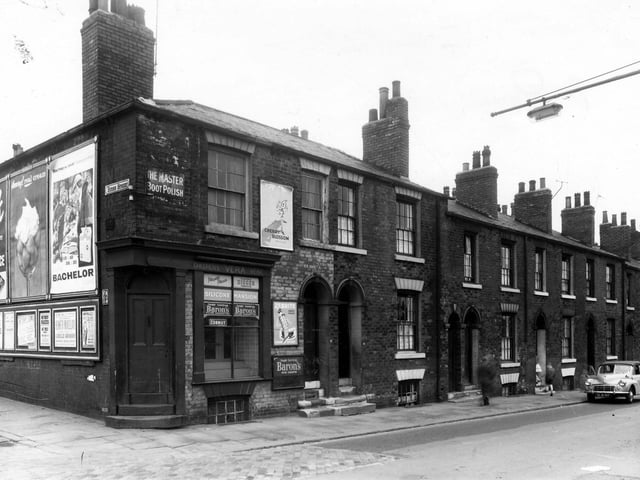
Burns Street, at the junction with Beckett Street in May 1960. The shop was number 84, the sign that reads 'Vera's Childrens Wear' | West Yorkshire Archive Service Photo: West Yorkshire Archive Service
11. Burmantofts in the 1960s
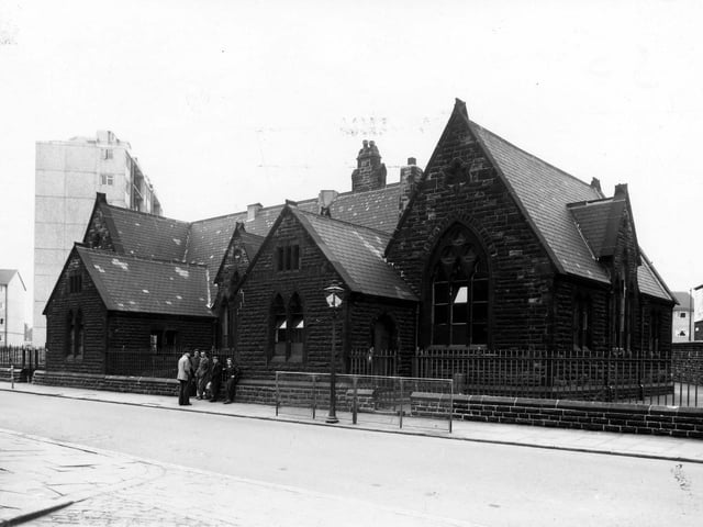
May 1960. St Stephens School, this is the side which was on Accommodation Road. The other side faced onto Nippet Lane, this was the junction where the two roads joined. | West Yorkshire Archive Service Photo: West Yorkshire Archive Service
12. Burmantofts in the 1960s
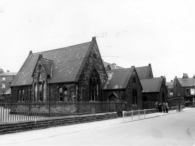
St Stephens School from Accommodation Road in May 1960. The end of Rock Street can be seen on the right. After redevelopment two schools were built to serve this area, Shakespeare Primary and Ebor Gardens Primary. | West Yorkshire Archive Service Photo: West Yorkshire Archive Service