
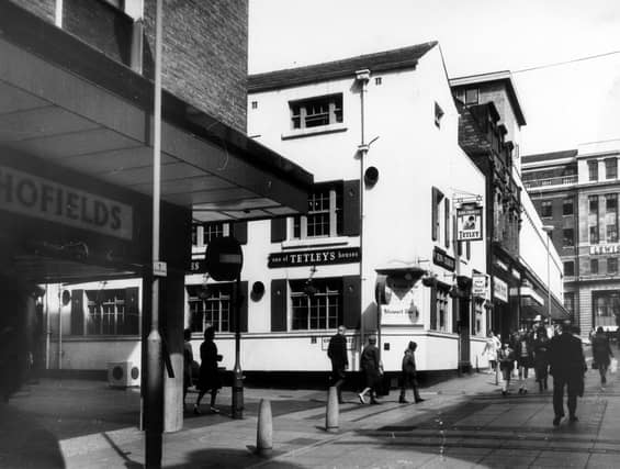


The exact date of each photo is unknown although they all have a date stamp of circa 1967. The gallery features city centre hidden gems and landmarks before heading out in to the suubrbs. The images are published courtesy of photographic archive Leodis, which is run by Leeds Library & Information Service. They also run heritage blog The Secret Library Leeds, which provides a behind the scenes look at the Central Library and highlights from its special collections, including rare books hidden away in the stacks. READ MORE: 33 of the best photos take you back to Leeds circa 1967 LOVE LEEDS? LOVE NOSTALGIA? Join Leeds Retro on facebook YEP RETRO NEWSLETTER: Sign up for our free monthly email digest of Leeds nostalgia
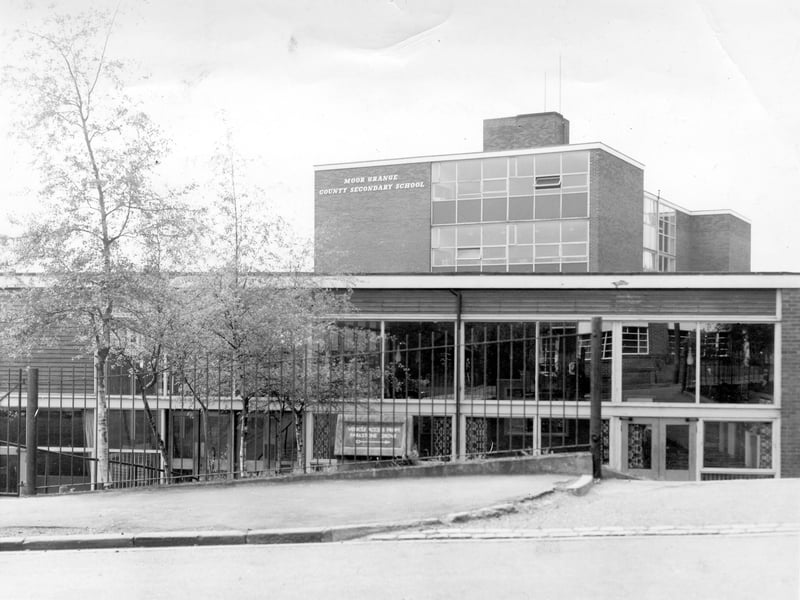
7. West Park
Moor Grange County Secondary School, showing the front entrance seen from Parkstone Avenue. Built around the 1950s, Moor Grange was a boys' school; it was later named Moor Grange High School but has now been demolished. | Leeds Libraries, www.leodis.net Photo: Leeds Libraries, www.leodis.net
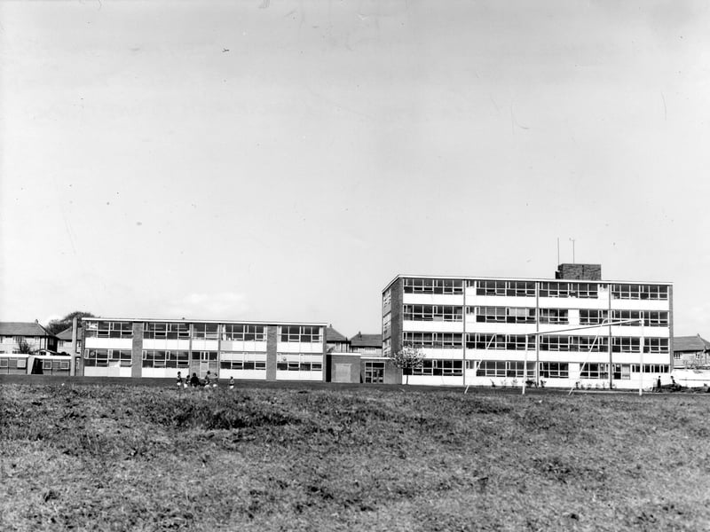
8. West Park
Moor Grange County Secondary School seen from the edge of the playing field by the A6120 Ring Road. Later known as Moor Grange High School, it has now been demolished. | Leeds Libraries, www.leodis.net Photo: Leeds Libraries, www.leodis.net
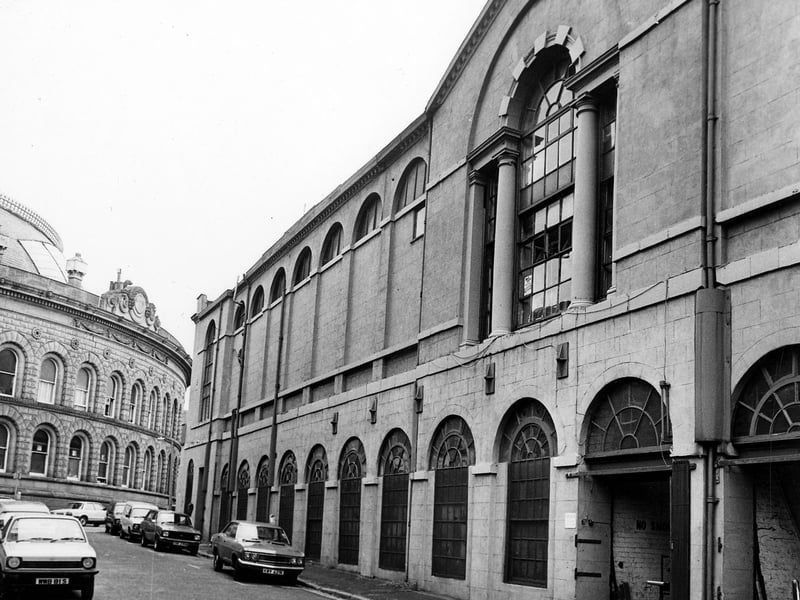
9. Leeds city centre
Assembly Street showing the Assembly Rooms on the right. Once the centre of Leeds social life as part of the Third White Cloth Hall, at the time of the picture the building was occupied by L.Hirst & Son, Wholesale Tobacco Merchants. Cars are parked on the road and the Corn Exchange can be seen on the left. | Leeds Libraries, www.leodis.net Photo: Leeds Libraries, www.leodis.net
10. Leeds city centre
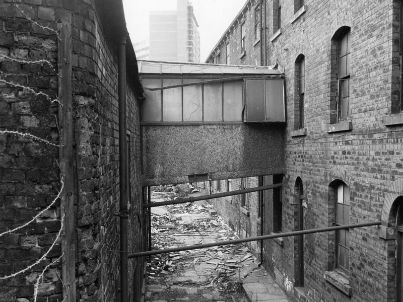
The western section of Commercial Court, looking west. City House on New Station Street can be seen in the distance. This section of Commercial Court was accessed from the alleyway adjacent to the railway bridge on Briggate. On the far left, below the barbed wire, is the yard of the Viaduct Hotel, and the warehouse building on the rights fronts onto Wormald's Yard. Much of the area north of the Viaduct Hotel was later demolished to make way for the Marriott Hotel complex. | Leeds Libraries, www.leodis.net Photo: Leeds Libraries, www.leodis.net
11. Leeds city centre
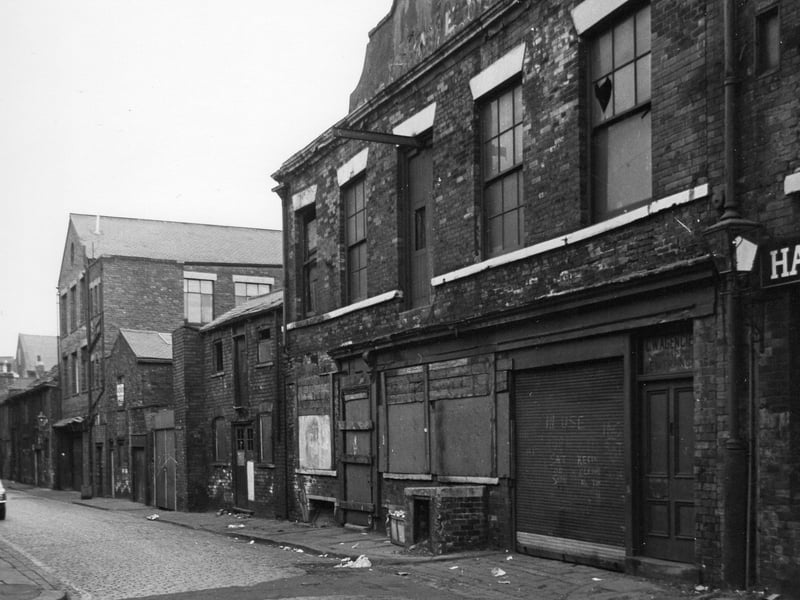
Wormald's Yard looking south east from the junction with Alfred Street. Most of the buildings are empty and shuttered, prior to redevelopment of the area, and the building on the right bears the lettering 'G.W. Agencies Ltd.' Wormald’s Yard ran westwards from lower Briggate almost to New Station Street, and parallel with the railway line. It could be accessed from Boar Lane via Alfred Street and White Horse Street, and on foot from an entrance between nos. 14 & 16 Briggate. It also connected into Commercial Court via a gateway between buildings. | Leeds Libraries, www.leodis.net Photo: Leeds Libraries, www.leodis.net
12. Leeds city centre
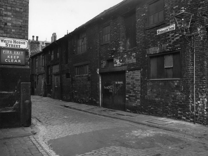
the junction of Wormald's Yard and White Horse Street, which gave access from Boar Lane, and looking east, Buildings are empty prior to redevelopment. The warehouse on the right would also have faced onto Commercial Court. Wormald’s Yard ran westwards from lower Briggate almost to New Station Street, and parallel with the railway line. | Leeds Libraries, www.leodis.net Photo: Leeds Libraries, www.leodis.net