Met Office issues yellow weather warning for Leeds as icy conditions set to hit


This warning is in place from 10pm tonight to 11am tomorrow morning (Jan 17) and covers East Yorkshire, North Yorkshire, South Yorkshire and West Yorkshire, including Leeds.
The Met Office said: “Icy patches are expected to develop later Wednesday evening or overnight over southern Scotland and Northern Ireland and during the early hours of Thursday over England and and Wales.
Advertisement
Hide AdAdvertisement
Hide Ad“There will also be some wintry showers about, mainly over hills and mountains, but also to some lower levels at times, most likely in parts of Scotland and northern, eastern and central England.
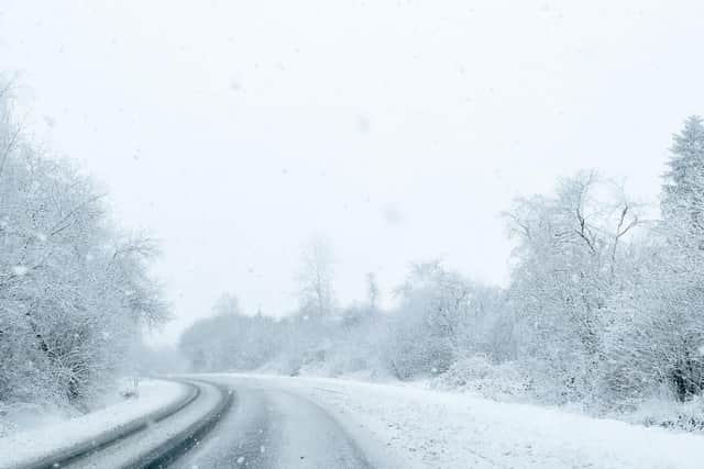
“With the exception of high ground, most places will not see any snow settling.”
What to expect from this weather warning:
- Some injuries from slips and falls on icy surfaces
- Probably some ice on some untreated roads, pavements and cycle paths
This week’s weather forecast
Today, Yorkshire is set to be “Cloudy with rain, heavy at times, clearing to the south through the morning,” according to the Met Office.
Advertisement
Hide AdAdvertisement
Hide Ad“Brighter but colder into the afternoon, with isolated showers and perhaps some light snow on the Pennines. Windy at first, easing in west.”
“Cold overnight with a widespread frost and icy patches. Further showers, some of these wintry, mainly over higher ground, but occasionally to lower levels. Windy, particularly towards the coast. Minimum temperature -2 °C.”
Thursday will be “Cold with wintry and occasionally heavy showers at first. Turning drier and brighter later but staying cold, any showers becoming restricted to the coast. Winds easing, but frosty again overnight.”
“Dry, cold and bright Friday. Bright but cold again Saturday, perhaps snow on western hills. Staying cold Sunday with rain and some hill snow later. Widespread overnight frosts.”