The location of all 24 mobile speed cameras in Leeds this week as police plot ELOR route crackdown

and live on Freeview channel 276
Excessive speed is among the most common factors when people are killed or seriously injured in crashes, with West Yorkshire Police naming it among the ‘fatal four’ causes of deaths on the road.
Earlier this year, the force announced a crackdown on speeding drivers. Paul Jeffrey, who heads up its casualty prevention unit, told councillors that it would feature a “blend” of speed cameras and officers checking speeds in person from the roadside.
Advertisement
Hide AdAdvertisement
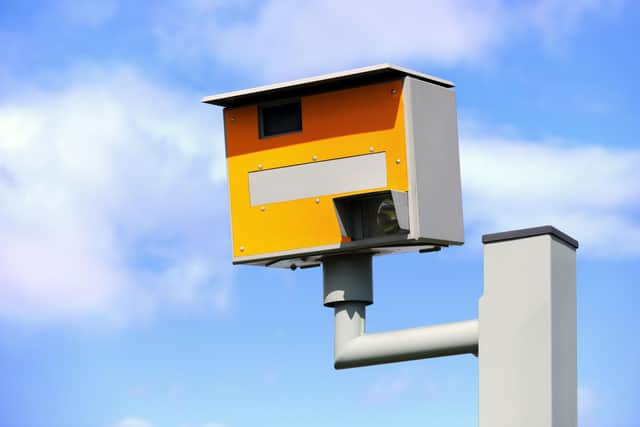
Hide AdWest Yorkshire Safety Camera Partnerships lists all the potential locations of mobile speed cameras in Leeds on its website. The list is broken down into roads with 30 mph, 40 mph and 50 mph speed limits.

Included in the list is the highly publicised East Leeds Orbital Route (ELOR) which reopened last summer to much public acclaim but has since come under fire, with local Conservative councillor Sam Firth branding the road a “race track” back in March.
The following 24 locations for this week are accurate at the time of publication, but are subject to alteration.
30 mph sites
A61 Wakefield Road/ Leeds Road, Rothwell - between Middleton Lane and Leadwell Lane.
Advertisement
Hide AdAdvertisement
Hide AdA65 Otley Road, Guiseley - between A6038 Bradford Road and B6153 Park Road.
Broad Lane, Sandford - between Whitecote Hill and Waterloo Lane.
Otley Old Road (Statics on Site) - between Holtdale Approach and Spen Lane.
A58 Whitehall Road, Drighlington - between 40m East of King Street and 75m East of Old Lane.
Advertisement
Hide AdAdvertisement
Hide AdKing Lane, Leeds - between 200m North Alwoodly Lane to 50m North Ring Road.
Queenswood Drive, Leeds - between Queenswood Gardens and 229 Queenswood Drive.
Dewsbury Road, Leeds between Victoria Road and Holmes Street.
Harewood Road, Collingham.
Tong Road, between Pipe and Nook Lane and Whingate.
A635 Penistone Road, between Huddersfield Road and 300m North East of Sude Hill Terrace.
40 mph sites
Advertisement
Hide AdAdvertisement
Hide AdA653 Dewsbury Road, Woodkirk, Leeds - between Lowry Road and Quarry Lane.
A58 Easterly Road, Leeds - between Easterly Grove and Boggart Hill Drive.
A61 Harrogate Road, Alwoodley - between Fir Tree Lane and Alwoodley Lane.
A639 Leeds Road, Rothwell - between Rothwell Lane / Calverley Road and Junction 44 of the M1.
Advertisement
Hide AdAdvertisement
Hide AdA639, Methley - between the junction of The Hollins and 110m East of Green Row.
Stanningley Road, Bramley between Henconner Lane and Back Christ Church View.
A660 Leeds Road, Pool - between Cabin Road and 290m west of number 6 Cragg View (NSL Signs).
A657 Carr Road – Between Clara Drive and 45m N/E of Carr Wood Gardens.
Advertisement
Hide AdAdvertisement
Hide AdA65 Abbey Road – Between Butlers Wharf and Back De Lacy Mount.
A647 Bradford Road – Between Dawson’s Corner and Gain Lane (Thornbury Gyratory).
50 mph sites
A62 Gelderd Road, Gildersome - between 42A Gelderd Road and Railway Bridge.
A6120 East Leeds Orbital Route.
A63 Selby Road, Swillington.