
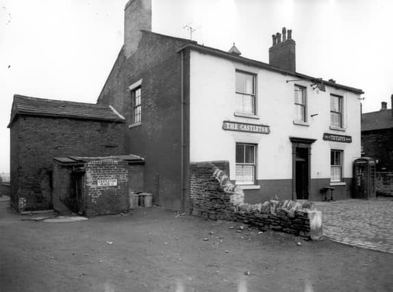


All aspects of community are featured in this gallery of memories – from schools and shops, through to pubs, places of worship, local factories and well-travelled streets. The images are published courtesy of West Yorkshire Archive Service, which collects and looks after the unique documentary heritage of the region dating from the 12th century to the present day - more than 800 years of local history. It also runs Catablogue, an online blog dedicated to preserving the past, serving the present and protecting the future. READ MORE: Memories of lost Leeds pubs in Armley, Wortley and Farnley LOVE LEEDS? LOVE NOSTALGIA? Join Leeds Retro on facebook YEP RETRO NEWSLETTER: Sign up for our free monthly email digest of Leeds nostalgia
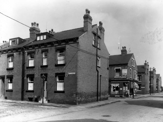
13. Armley ion the 1960s
Colton Road is to the right, with Cedar Street housesto the left. Visible behind is Cedar Place with corner shop called The Cabin. Rows behind these are Cedar Avenue and Cedar Road. Pictured in 1960. | Leeds Libraries, www.leodis.net Photo: Leeds Libraries, www.leodis.net
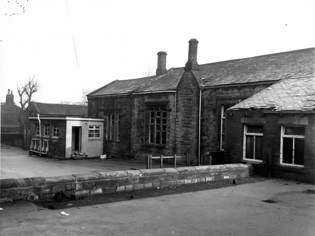
14. Armley in the 1960s
The Armley National School or Armley Higher Grade School which opened in 1832 and closed in 1966. It was located on Chapel Lane. Pictured in December 1967. | West Yorkshire Archive Service Photo: West Yorkshire Archive Service
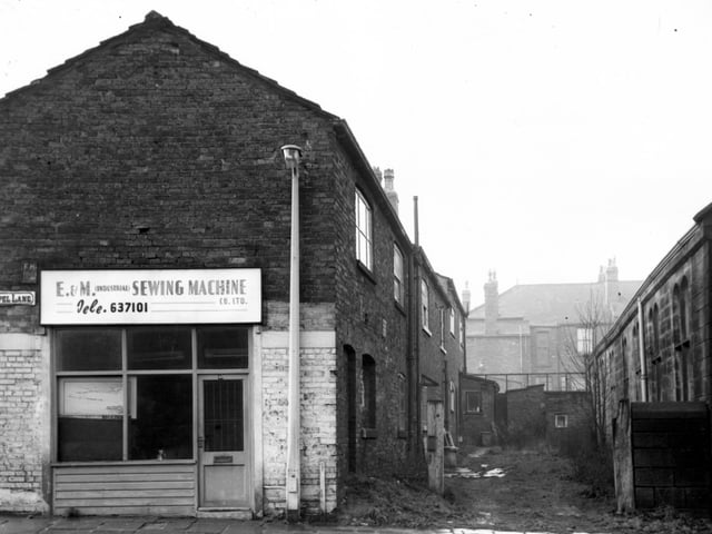
15. Armley in the 1960s
To the left of this view is number 60 Chapel Lane, premises of E and M (Industrial) Sewing Machine Co Ltd, sewing machine engineers and agents. Moving right, the backs of houses on Church Road. Back Wesley Road in the distance then part of Armley Higher Grade School on the right edge. | West Yorkshire Archive Service Photo: West Yorkshire Archive Service
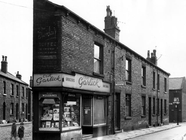
16. Armley in the 1960s
On the left edge of this view, properties on Main Street can be seen. Moving right onto Main Road, two boys stand next to a grocers and confectioners with the names C. & A. Garlick over the door. A painted wall sign above the window bears the name C. Briggs, the proprietor of a tobacconists here between the 1910s and the late 1940s. This was number 18 Main Road, numbers run in sequence to 12 on the right with Bright Terrace seen in the background. Pictured in August 1966. Photo: West Yorkshire Archive Service
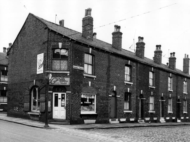
17. Armley in the 1960s
On the left of this view is Cyril's greengrocery, which also sells fish, fruit and flowers. This was number 10 Main Road. Cardwell Street runs to the right edge, numbers 3 to 9 are in view. These houses awaited demolition in line with the citywide slum clearance programme. | West Yorkshire Archive Service Photo: West Yorkshire Archive Service
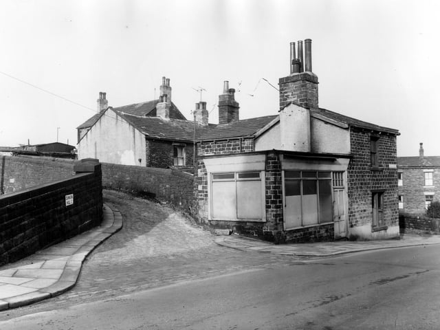
18. Armley in the 1960s
To the left is Dunkirk Hill, at the corner with Canal Road is a former shop, number 79 Canal Road. To the right is 81 Canal Road. Pictured in February 1961. | West Yorkshire Archive Service Photo: West Yorkshire Archive Service