When will a polar surge bring snow to Yorkshire? This is what the Met Office says after freezing blast
and live on Freeview channel 276
Reports suggest that a 'polar surge' will bring snow and ice across the UK through parts of January and into February.
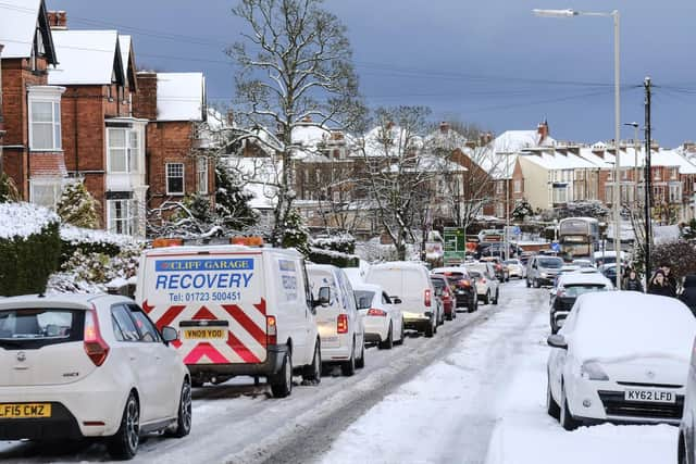
It comes after, this week, temperatures plummeted as low as minus 6 degrees C in Topcliffe, North Yorkshire, on Sunday night.
Advertisement
Hide AdAdvertisement
Hide AdThe next few weeks, Leeds and across Yorkshire are set to stay cold, but it will mostly be rainy and windy.

But the Met Office says snow could well be on the way by February, first falling on high ground and then moving into lower ground.
The Met Office said: "Into the weekend, it will be staying cloudy for most. A spell of rain is likely for a time in the northwest, spreading southeast across most parts, accompanied by strengthening winds. Next week, it looks like the south will see the driest weather, whilst the north could be wetter and windier at times.
"Later on in this period, some rain may briefly spread further southeast across the UK, although the most unsettled weather is likely to remain in the north and northwest, where some hill snow is possible.
Advertisement
Hide AdAdvertisement
Hide Ad"Further southeast drier spells will be accompanied by the best of any brightness, along with the greatest risk of fog and frost. Temperatures will generally be near average, although a little below at times in the north.
"Through the first half of February, we are likely to see a north/south split continuing; with the north being more unsettled than the south. The heaviest of the rainfall and strongest winds are likely to be seen across the northwest.
"The south is more likely to see drier, brighter conditions with light winds. There is potentially a greater risk of frost and fog patches developing towards the south. During colder, showery interludes, any snow will most likely be over higher ground in the north, but it could fall to lower levels at times.
"Temperatures will remain close to or above average through the period, though will likely fluctuate as frontal systems pass through, especially in the north."