
UK weather: Four flood alerts in place for Leeds and West Yorkshire as Storm Chandra hits county
Watch the Met Office forecast, as four flood alerts are in place for Leeds and West Yorkshire.
The Environment Agency has issued four flood alerts for Leeds and West Yorkshire.
- Ings Beck and Oakenshaw Beck
- River Spen and Batley Beck catchments
- Upper River Ouse
- Wyke Beck and Meanwood Beck catchments
Ings Beck and Oakenshaw Beck
Forecast high river levels this morning may lead to flooding on 27 January 2026. Locations most affected will be low lying land and roads adjacent to Alverthorpe Beck, Balne Beck, Ings Beck and Oakenshaw Beck in Wakefield. River flooding of property is not expected at this stage. We are closely monitoring the situation and will provide further updates as the situation develops. Take care and avoid walking, cycling or driving through flood water.
River Spen and Batley Beck catchments
Forecast high river levels this morning may lead to flooding on 27 January 2026. Locations most affected will be low lying land and roads adjacent to The River Spen, Blacup Beck, Lands Beck and Canker Dyke in Cleckheaton and Liversedge, Batley Beck from Birstall to Dewsbury, and Chickenley Beck. River flooding of property is not expected at this stage. We are closely monitoring the situation and will provide further updates as the situation develops. Take care and avoid walking, cycling or driving through flood water.
Upper River Ouse
River levels remain high and may lead to flooding. Flooding is possible today, 27/01/2026. Locations most affected will be Riverside footpaths and low-lying land in York and to the south as far as Naburn Lock, including Kings Staith, Queens Staith, and South Esplanade. We are monitoring rainfall and river levels. Avoid using low lying footpaths and any bridges near local watercourses.
Wyke Beck and Meanwood Beck catchments
Forecast high river levels this morning may lead to flooding on 27 January 2026. Locations most affected will be low lying land and roads adjacent to tributaries of the River Aire in North and West Leeds. River flooding of property is not expected at this stage. We are closely monitoring the situation and will provide further updates as the situation develops. Take care and avoid walking, cycling or driving through flood water.
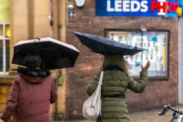

Met Office Yorkshire and Humber forecast
Today (Tuesday January 27)
Windy with rain through the morning, heavy at times, and turning to snow across the hills. Rain gradually easing from the south and west through the afternoon, but staying cloudy. Winds also easing a little as rain clears. Maximum temperature 6 °C.
Tonight (Tuesday January 27)
Winds easing further overnight, with some clear spells developing. Areas of patchy fog or freezing fog are likely to develop by dawn. Frost, and icy stretches possible. Minimum temperature -3 °C.
Wednesday (January 28)
Early fog slow to clear, perhaps lingering all day in a few spots and quickly reforming later in the day. Otherwise mainly dry, but often cloudy. Light winds. Maximum temperature 7 °C.
Outlook for Thursday (January 29) to Saturday (January 31)
Dull, perhaps foggy start Thursday. Any fog clearing to brighter spells, ahead of a band of rain moving east overnight and early Friday. Staying unsettled thereafter, with further rain expected.