Snow in Leeds: Met Office weather warning as deep snow could leave communities cut off for days

and live on Freeview channel 276
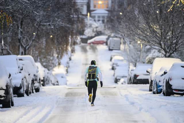
The Met Office has issued a yellow snow weather warning across Leeds this week as temperatures are expected to plummet. The Met Office website states Leeds could see heavy snow which has potential to disrupt public transport, air travel and roads could be blocked by deep snow.
The Met Office has also warned there is a small chance ‘communities could be cut off’ for several days, and there might be disruptions to power supplies and other services such as gas, water and phone signals.
Advertisement
Hide AdAdvertisement
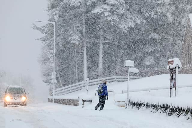
Hide AdThe warning comes as parts of the UK experienced snow and sub-zero temperatures as freezing temperatures returned to the nation. The Met Office weather warning is in place from Thursday, March 9 at 3am until Friday, March 10 at 6pm.
Met Office chief meteorologist Dan Suri said: “Snow, ice and low temperatures are the main themes of this week’s forecast, as the UK comes under the influence of an arctic maritime air mass as cold air moves in from the north.
“Snow is already falling in parts of the north where some travel disruption is likely, as well as a chance of some rural communities being cut off. Snow showers will continue through today and Tuesday here, and Northern Ireland will also be subject to some snow showers, especially over high ground.

“Ice will provide an additional hazard for many with overnight low temperatures well below 0°C for many. Further south wintry hazards will develop with parts of England and Wales affected by icy patches and snow in places tonight and likely further snow in parts of the south early Wednesday.”
Advertisement
Hide AdAdvertisement
Hide AdHeavy snow warning - National Highways advice
Dale Hipkiss, national network manager at National Highways, said: “Keeping a kit of essential items like a torch and warm clothes, in your vehicle, can be vital in case you and your passengers become stranded in winter. Freezing conditions bring so many hazards such as snow and ice and take every possible step to understand your journey in advance and allow lots of extra time when travelling to prepare for the unexpected.
“It is therefore always important to plan ahead for your journey, listen to the weather forecasts, and if weather conditions become challenging, adjust your driving behaviour and take extra care.”
Leeds weather - 5-day forecast
Today (March 6)
A band of showery rain, turning wintry over hills, will clear south during the morning. Sunny spells and snow showers will follow, with showers most frequent near the coast. Feeling cold and becoming breezy. Maximum temperature 7 °C.
Tonight:
Snow showers will continue this evening and overnight. A widespread frost will develop, with icy patches where surfaces are damp from showers. Minimum temperature -4 °C.
Tuesday (March 7)
Advertisement
Hide AdAdvertisement
Hide AdA very cold start, with widespread frost and icy patches. Snow showers will gradually become lighter and less frequent during the day, with some sunny spells, particularly further inland. Maximum temperature 4 °C.
Outlook for Wednesday to Friday:
Very cold, with severe frosts overnight. Largely dry with bright or sunny spells Wednesday. Increasingly cloudy Thursday, with periods of rain and snow possible later and through Friday.
Comment Guidelines
National World encourages reader discussion on our stories. User feedback, insights and back-and-forth exchanges add a rich layer of context to reporting. Please review our Community Guidelines before commenting.