Snow forecast in Leeds this weekend as temperatures set to plummet
and live on Freeview channel 276
The Weather Channel has forecast snow showers in the city on Saturday, as temperatures are set to plummet.
After mild temperatures early this week, there will be lows of 2C from Thursday.
Advertisement
Hide AdAdvertisement
Hide AdA mix of snow and rain showers are forecast for Leeds on Saturday, according to the Weather Channel.
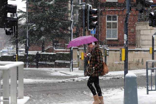

The forecast says: "A mix of rain and snow showers. High 4ºC. Winds NE at 5 to 10 mph. Chance of precipitation 50%."
Meanwhile the Met Office predicts freezing temperatures of -2C on Friday night.
However, there is no mention of snow in Leeds on Saturday as the forecasters predict cloudy weather with outbreaks of rain.
Advertisement
Hide AdAdvertisement
Hide AdThe Met Office long-term forecast for Leeds says: "Wednesday morning cloudy with outbreaks of rain, clearing to sunshine and showers, wintry on hills.
"Thursday and Friday, cold and breezy, with frequent showers, wintry on higher ground."
What is the forecast across the UK?
The Met Office has forecast an onslaught of wintry weather for the UK at the beginning of December, with snow, hail and sleet all expected as temperatures drop.
The Met Office UK outlook from Friday 4 December until Sunday 13 December says, “The period will start unsettled across all parts of the UK, with areas of heavy rain and showers, locally of soft hail, sleet and snow likely, and possibly more widespread snow over some hills and mountains.”
Advertisement
Hide AdAdvertisement
Hide AdIt will also be frequently windy, especially around coasts, and there will remain the potential for some patchy frost overnight, as well as isolated mist and freezing fog.
Temperatures are expected to be below average overall, but later in this period it could turn drier and more settled, with a chance of high pressure moving in from the north, which would bring brisk easterly winds.
Where winds fall lighter, overnight frost and patchy fog is expected, which is most likely in the north. Near, to slightly below, average temperatures are most likely overall.
Support the YEP and become a subscriber today. Enjoy unlimited access to local news and the latest on Leeds United, With a digital subscription, you see fewer ads, enjoy faster load times, and get access to exclusive newsletters and content. Click here to subscribe.
Comment Guidelines
National World encourages reader discussion on our stories. User feedback, insights and back-and-forth exchanges add a rich layer of context to reporting. Please review our Community Guidelines before commenting.