Snow and ice warning issued for Leeds - hour by hour forecast in full
and live on Freeview channel 276
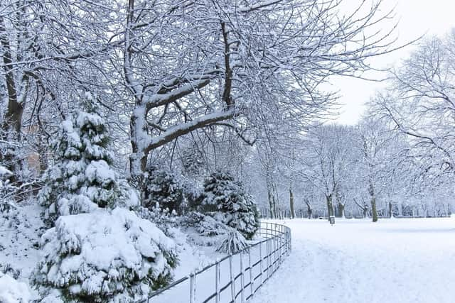
The Met Office has issued a yellow weather warning for snow and ice to the city, from 3pm on Monday (10 Feb) until 23.59pm on Tuesday (11 Feb).
The Met Office explains that ,“Showers will turn increasingly to snow later on Monday, becoming frequent and heavy at times and lasting through Tuesday.
Advertisement
Hide AdAdvertisement
Hide Ad“The snow showers will occur particularly over high ground giving locally 1-3 cm above around 150 metres and 3-8 cm above 300 metres. Snow will gradually build, perhaps leading to accumulation of 10-15 cm on the highest routes.

“Any snow accumulations over low ground are likely to be temporary. Icy surfaces are likely to cause problems, especially overnight.
“Strong winds will be an additional hazard with gusts of 50-60 mph at times leading to drifting of snow over high ground.”
Hour-by-hour forecast
Monday (10 Feb)
15:00 - Heavy rain - 3C
16:00 - Light rain - 3C
17:00 - Partly cloudy (night) - 4C
18:00 - Light rain - 3C
19:00 - Light rain - 3C
20:00 - Light rain - 3C
21:00 - Light rain - 3C
22:00 - Light rain - 4C
23:00 - Light rain - 4C
Tuesday (11 Feb)
00:00 - Light rain - 3C
01:00 - Light rain - 3C
02:00 - Light rain - 3C
03:00 - Light rain - 3C
04:00 - Light rain shower - 3C
05:00 - Light rain shower - 3C
06:00 - Light rain shower - 3C
07:00 - Partly cloudy - 3C
08:00 - Light rain shower - 3C
09:00 - Light rain shower - 3C
10:00 - Sleet - 3C
11:00 - Light rain shower - 3C
12:00 - Light rain shower - 4C
13:00 - Heavy rain shower - 4C
14:00 - Light rain shower - 4C
15:00 - Light rain shower - 4C
16:00 - Heavy rain shower - 4C
17:00 - Light rain shower - 3C
18:00 - Sleet - 3C
19:00 - Cloudy - 3C
20:00 - Light rain shower - 3C
21:00 - Sleet shower - 3C
22:00 - Cloudy - 3C
23:00 - Cloudy -3C