
Leeds weather: Date and time 16-hour Met Office thunderstorm warning will come into force in Leeds
The Met Office has issued a thunderstorm warning covering Leeds this week.
The Met Office has issued a thunderstorm warning covering Leeds this week, with 20-30mm of rain expected in three hours.
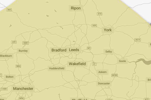
The yellow thunderstorm warning will be in place for Leeds from 6am to 10pm on Thursday August 27.
The warning - which has a very low likelihood and a medium impact - reads: “Thunderstorms and heavy rain may lead to some disruption.
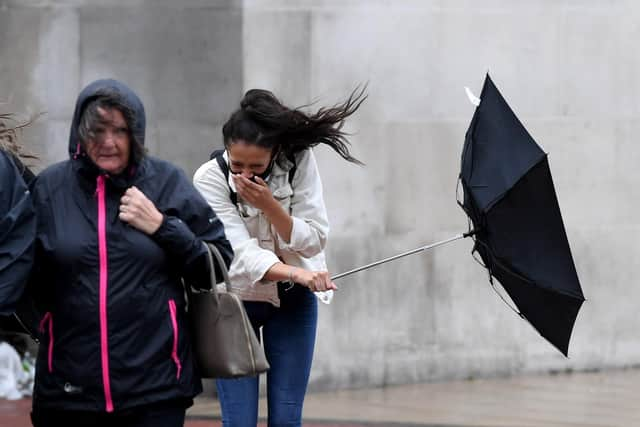

“There is a small chance that homes and businesses could be flooded quickly, with damage to some buildings from floodwater, lightning strikes, hail or strong winds. There is a small chance of fast flowing or deep floodwater causing danger to life.
“Where flooding or lightning strikes occur, there is a chance of delays and some cancellations to train and bus services. Spray and sudden flooding could lead to difficult driving conditions and some road closures.
“There is a slight chance that power cuts could occur and other services to some homes and businesses could be lost. There is a small chance that some communities become cut off by flooded roads.”
“A band of thunderstorms and heavy rain will move north across England and Wales, perhaps becoming slow moving in the afternoon and evening. Accumulations of 20-30 mm in three hours can be expected fairly widely and up to 50 mm in a 12 hour period can be expected in places. There is a small chance that some places may see more than 50 mm in three hours and more than 75 mm through 12 hours, especially over east facing high ground. Lightning and hail of 1-2 cm will also be hazards.”
Met Office Yorkshire and Humber weather forecast
Tuesday day (25 August)
Some patchy low cloud in the morning. Staying mostly dry, with spells of warm sunshine developing later. Best of the sunshine across the south of the region. Winds staying light throughout. Maximum temperature 22 °C.
Tuesday night (25 August)
Staying dry overnight with cloud lowering across higher ground to the west. Otherwise, clear spells for many but feeling mild. Minimum temperature 11 °C.
Wednesday (26 August)
Any low cloud firth thing will start to lift during the morning, bringing bright and sunny spells for many. Risk of thunderstorms developing later. Warmer than Tuesday. Maximum temperature 25 °C.
Outlook for Thursday (27 August) to Saturday (29 August)
Changeable weather with spells of heavy rain, some thunderstorms and strong winds. Brighter intervals and scattered showers at times. Temperatures mostly near normal, feeling warm and humid in places.