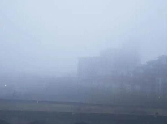
Leeds weather forecast: This is why a heavy fog has descended on Leeds and when it is set to clear


The Met Office explain that fog is caused by tiny water droplets suspended in the air, with the thickest fogs tending to occur in industrial areas where there are many pollution particles on which water droplets can grow.
According to the Met Office, “Fog is essentially a cloud at ground level that causes a reduction in visibility to less than 1000 m.
Advertisement
Hide AdAdvertisement
Hide AdA Met Office yellow weather warning for fog is in place until 10am today.
What will the weather be like this morning in Leeds?
This morning will be foggy, but this is set to ease by around 10am. The temperature will reach 9C by 12pm.
What will the weather be like this afternoon in Leeds?
This afternoon is then set to be brighter, with sunshine throughout. The temperature will increase to its peak of 13C by 2pm and remain so throughout the rest of the afternoon.
What will the weather be like this evening and tonight in Leeds?
Advertisement
Hide AdAdvertisement
Hide AdThis evening will be clear and dry, with the temperature dipping to 7C by 11pm. Overnight temperature of 3C.
What will the weather be like tomorrow in Leeds?
Tomorrow will be similar, with sunshine throughout the day and a maximum temperature of 15C.
What is the long-term forecast for Leeds?
The Met Office UK outlook for Thursday 28 February to Saturday 9 March said: “There is a great deal of uncertainty through Thursday and Friday. Some signals suggest a breakdown of settled conditions from the Atlantic, which would bring a greater chance of thicker cloud, wind and rain, particularly for the west.
“The other scenario is for settled conditions to continue until the weekend, extending the spell of drier weather.
Advertisement
Hide AdAdvertisement
Hide Ad“By the weekend Atlantic weather systems look more likely to bring spells of wet and windy weather across all areas, with the west more prone to the wettest and windiest conditions.
“Some snow is possible over higher ground in the north. Brighter, drier spells are also likely in between frontal systems; so generally turning much more unsettled than recently across the UK. Feeling colder with temperatures closer to average.”