
Leeds windows shaken by thunder as 30C temperatures expected again
It has been an eventful week of weather in Leeds 🌩️
A wave of thunder shook windows across the city as the scorching heat is set to return in a matter of hours.
Leeds is expected to be extremely warm once again today (May 28), according to the latest forecast. It comes after a brief break in the recent heatwave yesterday (May 27).
The Met Office is predicting that temperatures will climb back to 30C in the city in the coming hours. It follows a start to the day that saw thunder rumble through the skies above Leeds.
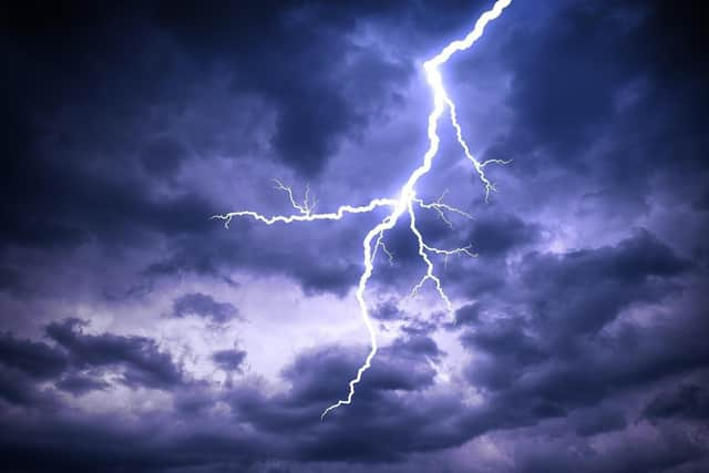

The Lightning Maps live tracker showed that there was electrostatic activity earlier today. Meanwhile, the Met Office’s own tracker showed a lightning strike in Leeds at 9.31am.
One of our readers reported: “Rumbles of Thunder at 3am and now rumbling in the distance no lightning in Guiseley.”
Another said: “One crack made me jump....” While one echoed: “Both at 3am and again at around 8:30, glad it's brightened up now.”
For the rest of the day, the outlook is for sunny weather with temperatures rising throughout the afternoon. It could get as hot as 30C by the early evening, according to the forecast.
It will be warmest between 4pm and 7pm, according to the Met Office. Temperatures are also expected to stay above 20 degrees on both Friday (May 29) and Saturday (May 30).
Looking ahead to June, the Leeds forecast for the first half of the month reads: “A changeable period, as a sequence of Atlantic weather systems move in from the west to bring a mixture of drier spells and some showers or longer spells of rain at times.
“The best of the drier conditions are more likely towards the south and east, with the rain generally more frequent in parts of the west and northwest, although there will be drier interludes here also.
“Temperatures will be near-normal overall, with the warmest spots most likely across eastern areas. It will also be breezy at times, most especially across northwestern areas.”
In its long-range forecast for the second-half of June, the Met Office adds: “Probably changeable or unsettled at first with Atlantic frontal systems bringing showers or longer spells of rain at times.
“From mid-month, high pressure may begin to become more dominant with conditions becoming drier and more settled, although some showery interludes are still possible. “Temperatures are expected to be near normal at first, but probably rising above average later.”