
Huge update to 12-hour snow warning in Leeds as area faces heavy flurries - latest

The Met Office has issued an update on the chances of snow in Leeds
A spell of wintry weather is set to sweep over the city in the coming hours, but an adjustment has been made to the forecast.
In the last 24 hours, the Met Office issued a 12-hour snow warning for Leeds and other parts of West Yorkshire. The yellow alert warned of disruption due to flurries from midnight on Tuesday (November 17) through to noon (12pm) that same day.
The original forecast read: “A band of rain is expected to head northwards across the UK through Monday night and Tuesday morning. As it encounters colder air across the highlighted region, it is likely to turn to snow for a time, mainly affecting locations at 100 m altitude or higher.
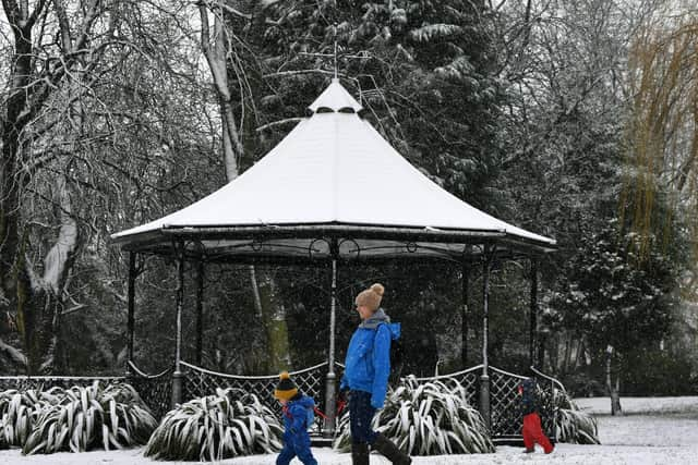

“Any snow falling below this level will more likely be temporary and quickly melt. Where snow does accumulate, depths of 1-5 cm are likely; some locations above 300-400 m could see 5-15 cm. This may cause travel disruption on higher level routes, particularly in combination with a strong easterly wind which could also cause some localised drifting.
“Some accretion of ice onto infrastructure such as power lines is also a possibility. Snow will gradually turn back to rain both from the south and through the morning on Tuesday.”
However, in an update on Monday (November 16) afternoon, the Met Office has changed its weather alert. It has been adjusted and no-longer covers Leeds city centre but some of the surrounding towns like Pudsey remain at risk of snow.
The alert also continues to cover Otley, Guiseley, and Yeadon. But the forecast leans more towards sleet in the early hours for these areas.
According to the forecast, a mix of light and heavy snow could fall in the Leeds town from midnight on Tuesday through to 4am. It will turn into sleet before raining heavily for the rest of the morning.
In Leeds itself, there is still a chance of sleet between 1am and 4am on Tuesday. If you are out in the city at this time, watch out for slushy conditions.
The snow warning comes amid the earliest ever weakening of the polar vortex, which could see arctic winds spread down towards the UK over the coming weeks.