First snow of the season hits Yorkshire - and it'll be cold all week
This article contains affiliate links. We may earn a small commission on items purchased through this article, but that does not affect our editorial judgement.


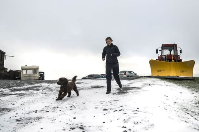
Air moving in from the Arctic sent temperatures dwindling down to single digits over the weekend.
Snow fell in northern parts of the country including the area around Tan Hill in North Yorkshire, and caused traffic headaches on a roadway near Nenthead, Cumbria.
Advertisement
Hide AdAdvertisement
Hide AdLondon barely exceeded 7C (45F) on Sunday while at Benson, Oxfordshire, about an hour out of the city, the mercury even dropped to -2.3C (28F).
But those looking for warmer conditions to return may be disappointed, with Met Office predicting conditions will remain cold with frost overnight.
Met Office meteorologist Chris Page said the country’s far south-east corner could expect some very strong winds, up to 50 mph, and further outbreaks of showery rain to start the week.
On Monday, the eastern coast and parts of the west could see showers with snow possible on the high ground in the north by mid-week.
Advertisement
Hide AdAdvertisement
Hide AdShowers and chilly conditions are forecast for Wednesday and Thursday, but early indications suggest Friday will be largely fine and dry, though still cold.
In the major cities, maximum temperatures in London are not expected to exceed 10C (50F) until Thursday, while Edinburgh could see a maximum of 4C (39F) on Tuesday.
Cardiff is forecast to drop to 1C (34F) on Monday night but will likely see warmer temperatures than the other cities over the weekend, with a high of 12C (36F) expected both days.
Birmingham residents will also need their hot water bottles on Monday night, with temperatures expected to hit zero (32F), before a rainy and cold Tuesday.
Advertisement
Hide AdAdvertisement
Hide AdHave you downloaded the free YEP app available on Android and iphone?