

These photos showcase the roads earmarked for demolition in Hunslet as part of Leeds City Council's slum clearance programme of the 1950s and 1960s. Hunslet was the site of much of Leeds' early industry, the terrace dwellings and cottages of the working people were older than the concentration of back-to-backs in other areas. The streets featured in this images will be remembered by a generation of residents who grew up in the LS10 community. The images are published courtesy of photographic archive Leodis, which is run by Leeds Library & Information Service as well as West Yorkshire Archive Service, which collects and looks after the unique documentary heritage of the region dating from the 12th century to the present day - more than 800 years of local history. READ MORE: Photo memories chart rise and fall of Hunslet's Leek Street Flats LOVE LEEDS? LOVE NOSTALGIA? Join Leeds Retro on facebook
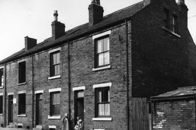
7. Berwick Place
Three back-to-back terraced houses on Berwick Place in September 1964 with a yard on the right originally built to house a shared outside toilet. Photo: West Yorkshire Archive Service
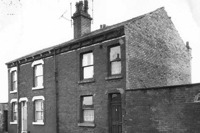
8. Balcombe Street
March 1968, Two even numbered back-to-back houses on Balcombe Street due for demolition. Photo: West Yorkshire Archive Service
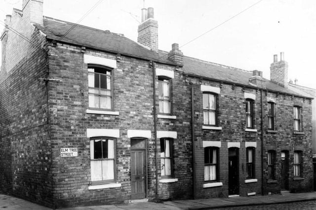
9. Elm Street Terrace
Elm Street Terrace in December 1960. On the left is Leek Street and on the right is a shared outside toilet block. Photo: West Yorkshire Archive Service
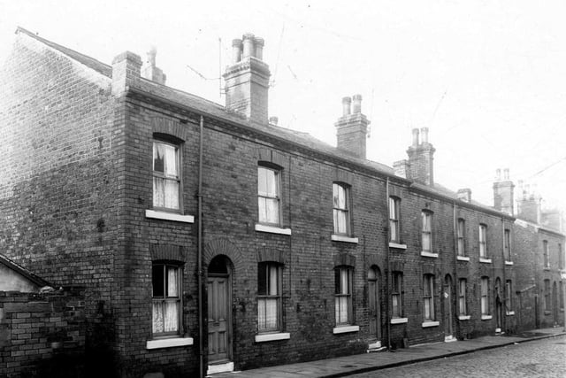
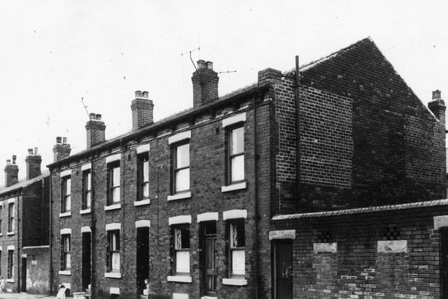
10. Alton Place
Alton Place in December 1960. Four double fronted back-to-back terraced houses flanked by shared outside toilet blocks. Families were to be relocated as part of slum clearance plans. Photo: West Yorkshire Archive Service
11. Balmoral Street
Balmoral Street in August 1963 which was scheduled for demolition and families relocated. Photo: West Yorkshire Archive Service
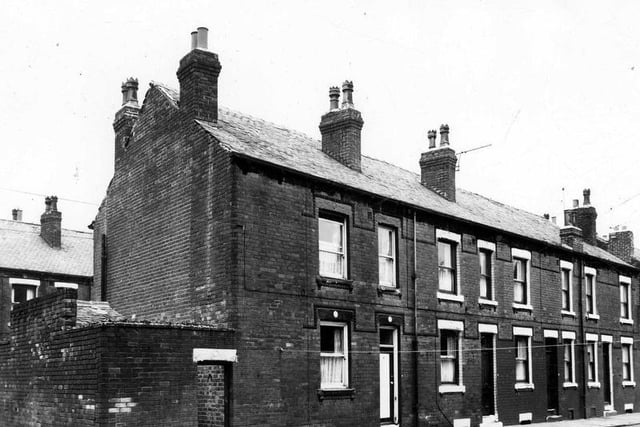
12. Ashton Terrace
This is Ashton Terrace in August 1963. On the left is access to Windsor Place with a yard on the right, originally built to house the shared outside toilet. Photo: West Yorkshire Archive Service