

They feature streets which were included in slum clearance plans for the area as well as shops and local landmarks including the Meanwood Institute. They are published courtesy of photographic archive Leodis, which is run by Leeds Library & Information Service. They also run heritage blog The Secret Library Leeds, which provides a behind the scenes look at the Central Library and highlights from its special collections, including rare books hidden away in the stacks. READ MORE: 12 unseen photos of Headingley down the decades LOVE LEEDS? LOVE NOSTALGIA? Join Leeds Retro on facebook
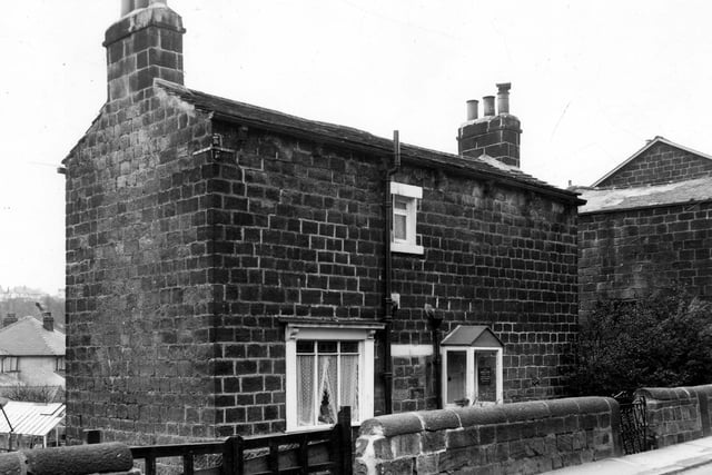
7. Meanwood in the 1960s
March 1966. The view shows number 23 Green Road, a large detached house set within a garden. There is a plaque next to the front porch which may say Kirby and Sons, builders, although the occupant of this property is listed as Sidney Smith. Photo: Leeds Libraries, www.leodis.net
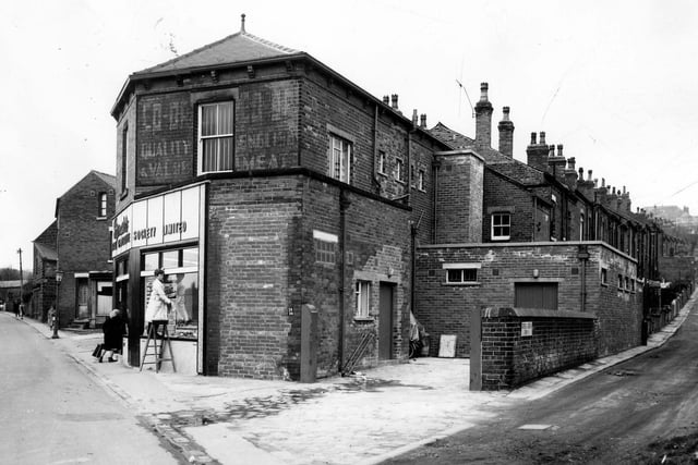
8. Meanwood in the 1960s
March 1966. Green Road runs from the left of the view, Cross Green Row runs to the right. In the centre is a Leeds Industrial Co-op Society Ltd. Photo: Leeds Libraries, www.leodis.net
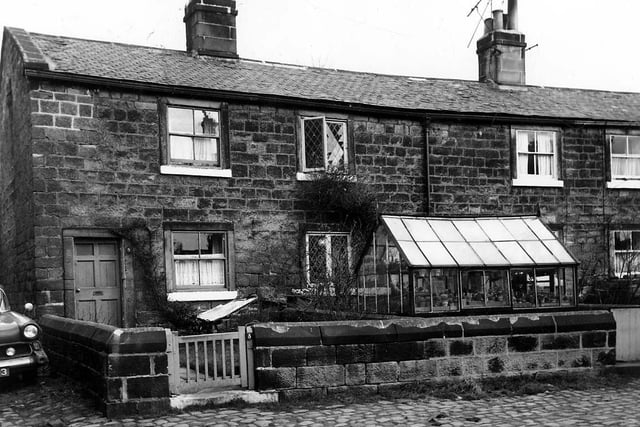
9. Meanwood in the 1960s
March 1966. Odd and even numbered properties on Tannery Square. This was included in slum clearance plans for the Green Road area. Photo: Leeds Libraries, www.leodis.net
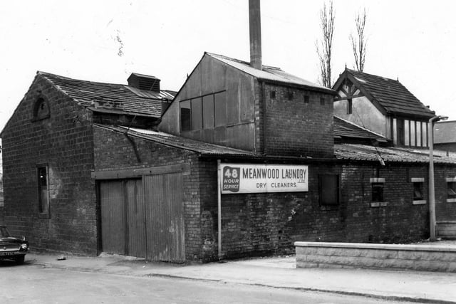
10. Meanwood in the 1960s
The Meanwood Laundry Ltd located on Church Lane in March 1966. This firm had existed on the site since the early 1900s. Photo: Leeds Libraries, www.leodis.net
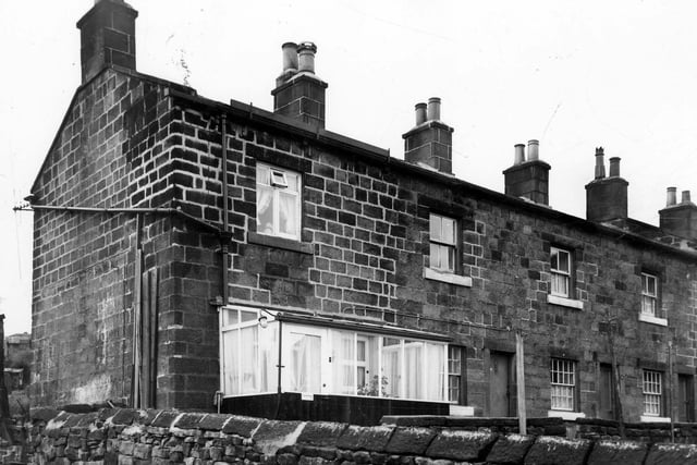
11. Meanwood in the 1960s
March 1966. Blind back houses on Providence Square. It was included in slum clearance plans for the Green Road area. Photo: Leeds Libraries, www.leodis.net
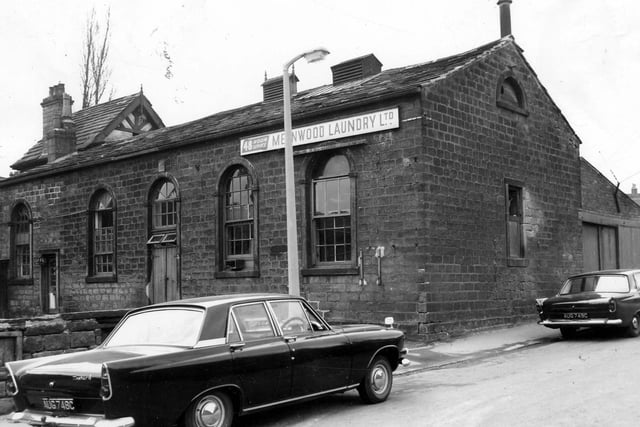
12. Meanwood in the 1960s
Meanwood Laundry on Church Lane in March 1966. The entrance to the office can be seen on the left. There had been a laundry on this site since the early 1900s.