
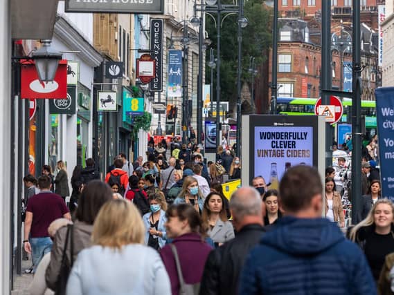

From today, groups of up to six people, from any number of households, or a group of any size from up to two households, are allowed to gather in parks and gardens in England, and outdoor sports facilities can reopen.Here are the 10 areas of Leeds listed where data is listed as 'suppressed' according to the government's interactive map. There were fewer than 3 cases recorded in the seven days to 23 March 2021. The map is available by clicking here:
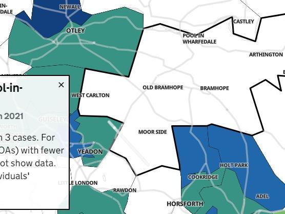
7. Bramhope and Pool-In-Wharfedale
"Seven days to 23 March 2021 There were fewer than 3 cases. For smaller areas (eg MSOAs) with fewer than 3 cases, we do not show data. This is to protect individuals' identities." Photo: Gov
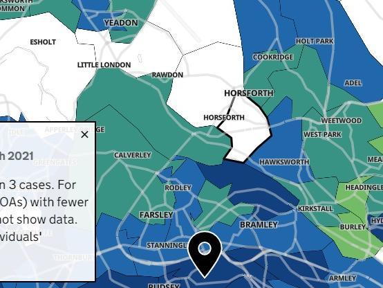
8. Horsforth East
"Seven days to 23 March 2021 There were fewer than 3 cases. For smaller areas (eg MSOAs) with fewer than 3 cases, we do not show data. This is to protect individuals' identities." Photo: Gov
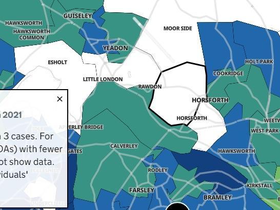
9. Horsforth West
"Seven days to 23 March 2021 There were fewer than 3 cases. For smaller areas (eg MSOAs) with fewer than 3 cases, we do not show data. This is to protect individuals' identities." Photo: Gov
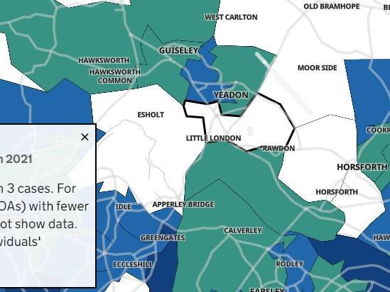
10. Yeadon South
"Seven days to 23 March 2021 There were fewer than 3 cases. For smaller areas (eg MSOAs) with fewer than 3 cases, we do not show data. This is to protect individuals' identities." Photo: Gov