Met Office issues thunderstorms and torrential rain weather warning for Leeds as heatwave comes to abrupt end

and live on Freeview channel 276
The warning comes after the city was hit by another week of soaring temperatures – peaking at over 30 °C.

The Met Office has now issued a yellow weather warning from 10am on Monday (August 15) morning until the end of day Tuesday (August 16).
Advertisement
Hide AdAdvertisement
Hide Ad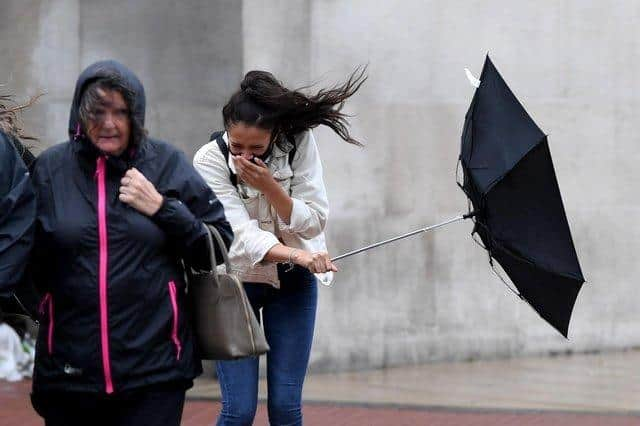

"Hit-and-miss thunderstorms likely to develop through Monday, producing some torrential downpours for some spots, and possible disruption.” said the Met Office.
"While some places stay dry, others are likely to see thunderstorms with torrential rain during Tuesday, bringing possible disruption.”
Here's everything you need to know.
Which parts of the country will be affected?
According to the Met Office, thunderstorms are likely to develop over much of England, Wales and into Scotland over the course of Monday.
Tuesday is likely to see clearer skies for Scotland with much of England into Wales covered by weather warnings.
What level of disruption should be expected?
Advertisement
Hide AdAdvertisement
Hide AdThere is a good chance driving conditions will be affected by spray, standing water and/or hail, leading to longer journey times by car and bus.
The Met Office says delays to train services are possible, while some short term loss of power and other services is likely.
There is also a chance of some flooding of homes and businesses or some damage to a few buildings or structures from lightning strikes.
According to the Met Office there is “considerable uncertainty” at this stage relating to the potential severity of the storm.
Caution is advised.