New interactive map launch shows positive coronavirus cases per Leeds area
and live on Freeview channel 276
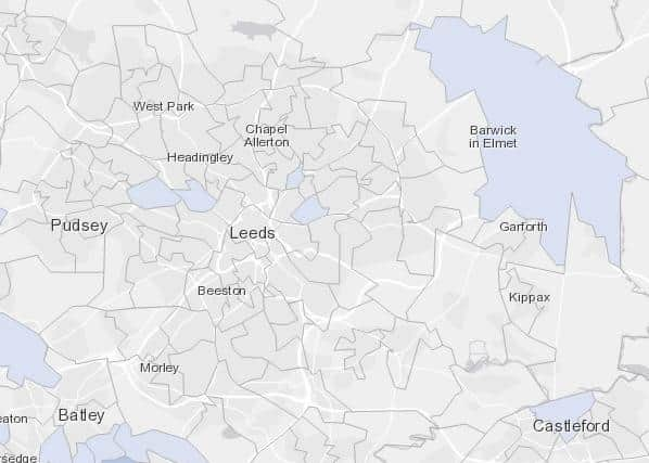
The map - available here - uses data of lab confirmed positive cases of Coronavirus (COVID-19) reported by July 15 with specimen dates between July 6 to July 12, 2020.
Cases from pillar 1 and pillar 2 of the Government's testing programme are included on the map.
Advertisement
Hide AdAdvertisement
Hide AdPillar 1 is NHS and PHE Testing – swab testing in Public Health England (PHE) labs and NHS hospitals for those with a clinical need, and health and care workers.

Pillar 2 is commercial partner testing – swab testing for the wider population, as set out in government guidance - this includes in-person tests processed and tests sent out.
The figures will be published weekly, with the aim of daily updates in the future.
In Leeds, the map shows the following areas reported coronavirus cases between the dates:
Aberford, Barwick & Thorner: 3
Bramley East: 3
Burley: 4
Burmantofts: 6
Harehills North: 8
______
A message from the Editor:
Advertisement
Hide AdAdvertisement
Hide AdLeeds has a fantastic story to tell - and the Yorkshire Evening Post has been rooted firmly at the heart of telling the stories of our city since 1890. We believe in ourselves and hope you believe in us too. We need your support to help ensure we can continue to be at the heart of life in Leeds. https://www.yorkshireeveningpost.co.uk/news/why-yorkshire-evening-post-needs-your-support-laura-collins-yep-editor-2913382
Subscribe to our website and enjoy unlimited access to local news and information online and on our app. With a digital subscription, you can read more than 5 articles, see fewer ads, enjoy faster load times, and get access to exclusive newsletters and content. Click here to subscribe. For more details on our newspaper subscription offers click here.
Thank you
Laura Collins