Yorkshire weather forecast: Temperatures plummet as cold front hits the UK


According to the Met Office, “mild southerly winds will be replaced by colder easterly winds from Europe, as high pressure becomes established to the north east of the UK.”
Will Lang, Chief Meteorologist at the Met Office, said: “Temperatures so far this month have been very mild, with some places this week seeing highs of 16 or 17 Celsius.
Advertisement
Hide AdAdvertisement
Hide AdHowever, this week “temperatures will fall markedly as easterly winds bring much colder air across the country, limiting temperatures by day to between 6 and 9 Celsius.”
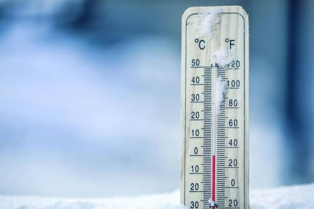
“It’s certainly going to feel noticeably colder next week – especially in the east with the keen easterly breeze - however it won’t be out of the ordinary for the time of year.”
Weather forecast for the week
Today Yorkshire will see some rain in certain areas and will feel cold with a strengthening easterly breeze. Yorkshire will have a maximum temperature of 9C.
Tonight will see some clear spells, but generally it will be rather cloudy overnight with scattered showers. It will also continue to feel cold in the brisk wind, with a minimum temperature of 2C.
Advertisement
Hide AdAdvertisement
Hide AdTomorrow will remain cold with further showers and strong easterly winds. Showers will be heavy and persistent at times, and will turn wintry across hills with a maximum temperature of 8C.
Wednesday to Friday will see winds easing, but it will remain cold with showers or longer spells of rain, wintry across hills.
It will then become drier and brighter on Friday, with a risk of frost and icy patches overnight.
"At the moment, it looks like the cold spell will last until at least the end of next week and possibly into the start of December", adds Mr Lang.
“There are some signs we may see snowfall to lower levels by then, although it is too early to say with confidence.”