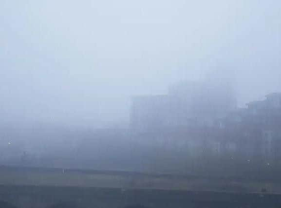
This is why a heavy fog has descended on Leeds and this is when it will clear


The Met Office explain that fog is caused by tiny water droplets suspended in the air, with the thickest fogs tending to occur in industrial areas where there are many pollution particles on which water droplets can grow.
According to the Met Office, “Fog is essentially a cloud at ground level that causes a reduction in visibility to less than 1000 m.
Advertisement
Hide AdAdvertisement
Hide Ad“However, for most people, thick fog is when visibility drops below 180 m. Severe disruption to transport occurs when the visibility falls below 50 m over a wide area. This is referred to as dense fog.”
When will it clear?
Leeds will see largely cloudy conditions throughout the day today, with cloud set to persist overnight with below freezing temperatures.
The Met Office forecast for Yorkshire said: “Freezing fog patches clearing slowly, otherwise cold with sunny spells.
“A cold but mainly dry day with some good sunny spells, although freezing fog patches may be slow to clear.”
Advertisement
Hide AdAdvertisement
Hide AdThis morning in Leeds the temperature of -3C will climb slightly to -1C by 12pm.
This afternoon will continue to be overcast and cold, with a maximum temperature of 0C throughout the afternoon.
This evening will become quickly dark, but remain dry, with the temperature dipping to -1C after 7pm and remaining so throughout the evening and overnight.
Tomorrow will remain cool with overcast and icy conditions. Light snow is set to hit throughout most of the day, alongside sleet showers. Maximum temperature of 3C and a minimum temperature of -1C.
What is the long-term forecast for Leeds?
Advertisement
Hide AdAdvertisement
Hide AdLooking further ahead, the Met Office UK outlook for Monday 4 Feb to Wednesday 13 Feb said: “Rain and hill snow will clear later on Monday, however further rain, sleet and snow will possibly arrive from the west on Tuesday.
“It will stay mostly cold, with frost and ice likely overnight. Thereafter, it is likely to stay changeable, with further spells of rain, sleet and snow interspersed by sunshine and showers. The wind will be brisk at times, with gales around exposed coasts and over higher ground.
“After a cold start to February, temperatures may temporarily return closer to normal, although further colder interludes are still possible. Overnight frosts are still likely to be widespread and towards the end of this period there is a greater chance of it becoming even colder.”