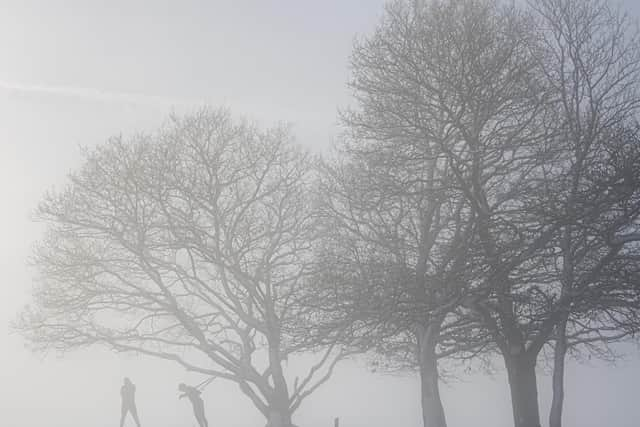
Snow and ice warning in place in Leeds this weekend - flood alerts also in place
and live on Freeview channel 276
It is in place from 4pm today (Friday 22) until 10.30am on Saturday, January 22.
The warning covers most of the city but some areas in the very east of Leeds, towards York, may escape the snow.
Advertisement
Hide AdAdvertisement
Hide AdThe Met Office has warned that there will be some icy patches on some untreated roads, pavements and cycle paths, which may increase the likelihood of accidents and injuries.

It added: "Some roads and railways likely to be affected by snowfall, with longer journey times by car as well as bus and train services."
West Yorkshire Fire & Rescue Service urged people to only travel if it's essential and take extra care if going out.
What is the weather forecast this weekend for Leeds?
As we head into Friday evening, it will be cold allowing widespread frost to form.
There is a risk of wintry showers.
Advertisement
Hide AdAdvertisement
Hide AdIt will be a cold and frosty start on Saturday, with some wintry showers persisting over the Pennines.
Eastern areas mostly dry with sunny spells but cold.
Another frosty night to follow.
Sunday will be cold with light winds, sunny intervals but also wintry showers.
Widespread overnight frost is expected, the Met Office said.
Are there any flood warnings and alerts in Leeds?
There are currently two flood warnings in place in Leeds.
This means flooding is expected and immediate action is required.
Advertisement
Hide AdAdvertisement
Hide AdThe flood warnings are in place at: River Aire at Allerton Ings, Barnsdale Road and Properties and River Aire at Newton and Fairburn.
There are six flood warnings in place.
This means flooding is possible and people should be prepared.
They are in place at: Lower River Aire catchment, Lower River Nidd catchment, Lower River Wharfe, Middle River Aire catchment, Tidal River Ouse from Naburn Lock to Selby and Tidal River Wharfe.
For the latest flood warnings, visit the Environment Agency website.