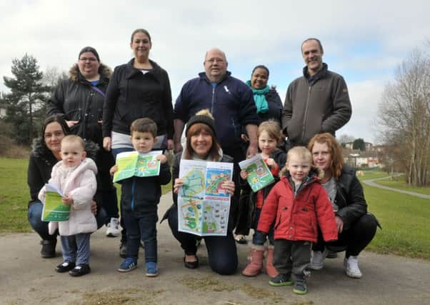
Stay one step ahead with new Leeds map


A free guide has been launched in Seacroft to encourage people to get active and learn more about where they live.
The Seacroft Walking Map aimed at parents, toddlers, nature and history lovers features three different walking routes and has been commissioned as part of a project called ‘Go:Walking’.
Advertisement
Hide AdAdvertisement
Hide AdResidents will also be able to access information about the area by scanning codes on the maps with their mobile phones.
Project manager Damian Dawtry from Space2, a Leeds-based arts and health charity, said: “The Seacroft Walking Map aims to help people to explore their local parks and pavements, and to use them in their day to day lives.
“The map is a great resource for making the most of the local area”
Go:Walking, an initiative created by the West Yorkshire Combined Authority, aims to get more people walking more often and is managed by UK charity Living Streets.
Advertisement
Hide AdAdvertisement
Hide AdLocal community groups and non-profits such as Kentmere Children’s Centre, the Friends of Wyke Beck Valley and Leeds Libraries, have come together to produce the map, each choosing a different route for the area, further strengthening local partnerships.
Local councillors will be among those addressing the launch at Seacroft Library tomorrow afternoon.
The map will be available at One Stop Centres, libraries and the LS14 Trust.