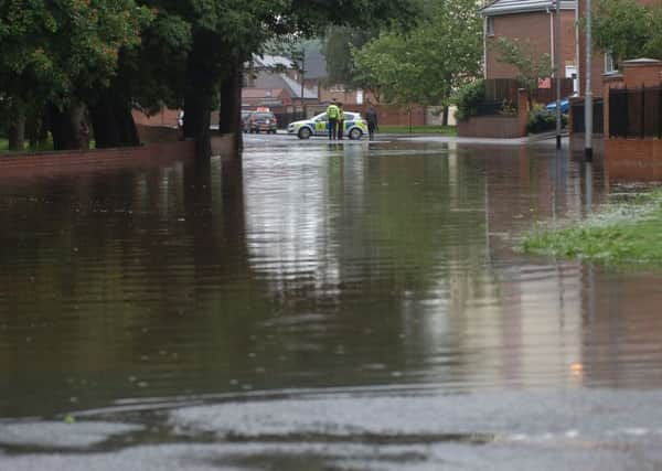
Work to reduce risk of flooding


A new strategy to counter flooding in and around the city has identified 6,000 properties at increased risk of flooding from becks and rivers while 2,600 are deemed to be in danger from surface water floods.
Wakefield and the surrounding areas have experienced notable flooding four times in the last nine years with the most serious occasion the 2007 floods when 1,470 homes were affected.
Advertisement
Hide AdAdvertisement
Hide AdCouncillors will next week discuss Wakefield Council’s new strategy to reduce the risk of flooding.
The document warns that businesses could be put off from investing in the area unless they are confident proper plans are in place to limit the risk of flooding.
Coun Matthew Morley, Wakefield Council’s cabinet member for transport and highways, said: “We will be discussing the strategy which is all about making sure we have effective plans, so we are as well prepared as we can be for flooding.
“This is important as we need to ensure we are resilient to flooding and our infrastructure and transport links are robust so they continue to support the drive to regenerate our district.”
Advertisement
Hide AdAdvertisement
Hide AdThe Cutsyke area of Castleford, Walton and Newmillerdam are the parts of the district considered to be at “signficant risk” of watercourse flooding.
The strategy separately identifiess 22 areas thought to be at threat of surface water flooding.
Measures to reduce the risk will include clearing trash screens on local rivers and becks and removing debris around bridges and working with private landowners on waterncourse maintenance.