Hour-by-hour forecast: This is when Storm Bronagh will hit Leeds with strong winds and heavy rain


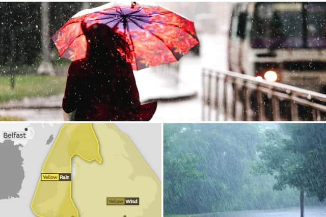
Storm Bronagh is set to hit parts of the UK, including Leeds, with very strong winds this evening and overnight into Friday morning.
Storm Bronagh will bring wind gusts of 45-50 mph widely around exposed coasts and in some inland areas, with gusts of 60-65 mph also possible, particularly overnight into Friday.
Advertisement
Hide AdAdvertisement
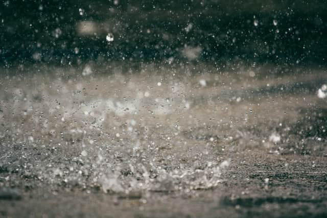
Hide AdHeavy rain is set to hit Leeds today from 2pm onward, continuing well into the evening. Strong winds will then pick up early this evening, with a yellow weather warning in place from 6pm to 9am tomorrow morning.
Here’s an hour-by-hour forecast of what to expect.
13:00: Heavy showers- 13C
14:00: Heavy showers- 13C
15:00: Heavy showers- 13C
16:00: Heavy showers- 12C
17:00: Heavy showers- 12C
18:00: Heavy showers- 12C
19:00: Heavy showers- 12C
20:00: Heavy showers- 13C
21:00: Heavy showers- 14C
22:00:Heavy showers- 15C
23:00:Heavy showers- 15C
Heavy rain and winds will also continue throughout the day on Friday (September 21).
00:00: Heavy showers- 15C
01:00: Heavy showers- 14C
02:00: Heavy showers- 14C
03:00: Heavy showers- 11C
04:00: Heavy showers- 10C
05:00: Heavy showers- 9C
06:00: Heavy showers- 9C
07:00: Heavy showers- 8C
08:00: Heavy showers- 9C
09:00: Heavy showers- 9C
10:00: Heavy showers- 10C
11:00: Heavy showers- 11C
12:00: Heavy showers- 11C
13:00: Heavy showers- 11C
14:00: Heavy showers- 11C
15:00: Heavy showers- 12C
16:00: Heavy showers- 13C
17:00: Heavy showers- 12C
18:00: Heavy showers- 12C
19:00: Heavy showers- 12C
20:00: Heavy showers- 11C
21:00: Heavy showers- 11C
22:00: Heavy showers- 10C
23:00: Heavy showers- 10C
What to expect from the Storm Bronagh weather warning:
-Some damage to buildings, such as tiles blown from roofs or through falling trees and branches, could happen. Injuries and danger to life from flying debris are possible
-Road, rail, air and ferry services may be affected, with longer journey times and cancellations possible
-Some roads and bridges may close
Advertisement
Hide AdAdvertisement
Hide Ad-Power cuts may occur, with the potential to affect other services, such as mobile phone coverage
-Injuries and danger to life could occur from large waves and beach material being thrown onto sea fronts, coastal roads and properties
Disruption to travel
Highways England’s Head of Road Safety, Richard Leonard, said: “We’re encouraging drivers to check the latest weather and travel conditions before setting off on journeys. If you do intend to travel, then plan your journey and take extra care, allowing more time for your journey.
“In high winds, there’s a particular risk to lorries, caravans and motorbikes so we’d advise drivers of these vehicles to slow down. Drivers of other vehicles should be aware of sudden gusts of wind which can affect handling and braking, and give high-sided vehicles, caravans, and motorbikes plenty of space.”