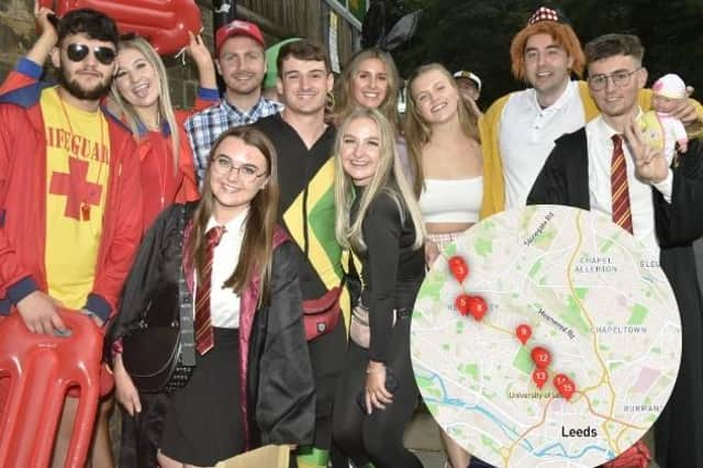
Otley Run: Interactive map of all of the bars and pubs on the infamous Leeds bar crawl published online


The 15-stop bar crawl has become something of a rite of passage for students in the city, who don their best fancy-dress and tackle the pubs and bars that stretch from Headingley and into the city centre throughout the day. The route has attracted its fair share of critics though, with locals complaining of drunken disorder, littering and more serious, violent crimes.
Groups of people in fancy dress can be often be spotted making their way down Headinley Lane on the two-and-a-half mile route, which starts at Woodies Ale House and ends in the centre at The Dry Dock.
Advertisement
Hide AdAdvertisement
Hide AdDiscover Leeds has now introduced an interactive map that highlights all of the stops along the route while also providing details of the background, history and specifics of the bar crawl. To view the interactive map of the Otley Run click here.
The official list of bars on the Otley Run are:
1. Woodies Craft Ale House
2. The Three Horseshoes
3. The New Inn
4. Headingley Taps
5. Manahatta
6. Box
7. The Skyrack
8. The Original Oak
9. The Hyde Park
10. The Library
11. The Pack Horse
12. The Eldon
13. Handsome Brewhouse
14. The Fenton
15. Dry Dock